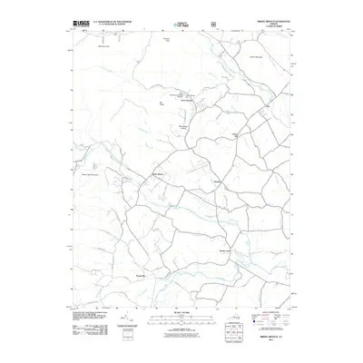
2011 Map of Briery Branch
USGS Topo · Published 2011About this map
Union Springs and Sangerville anchor a landscape of rural hamlets and managed waterways within the Shenandoah Valley's western edge. The North River and its various tributaries, including Briery Branch and Spring Creek, create a complex network of drainages that once supported the agricultural and milling economies of this region. Water management is prominent through features like the Union Springs Dam and the Lower North River Number 80 Dam, while the terrain rises sharply to the west along Narrow Back Mountain and Prospect Knob. Named roads like Millers Saw Mill Rd and Emmanuel Church Rd hint at the historical industry and community centers that shaped small settlements like Ottobine and Clover Hill. This map reflects the long-standing settlement patterns and local geographic divisions that remain central to the area's identity.
Find a feature on this map
64 named features on this map. Tap any name to fly to it.
Don’t see what you’re looking for? This feature index may not catch every label — zoom into the map to look around manually.
Map Details
Editions of this 2011 Briery Branch Map
This is the sole edition of this map. No revisions or reprints were ever made.
Other maps of this area

1892 · Franklin
USGS Topo · 1:125,000

1892 · Woodstock
USGS Topo · 1:125,000

1892 · Harrisonburg
USGS Topo · 1:125,000

1894 · Staunton
USGS Topo · 1:125,000

1896 · Franklin
USGS Topo · 1:125,000

1922 · Fort Seybert
USGS Topo · 1:48,000

1924 · Fort Seybert
USGS Topo · 1:62,500

1941 · Harrisonburg
USGS Topo · 1:62,500

1943 · Harrisonburg
USGS Topo · 1:62,500

1944 · Parnassus
USGS Topo · 1:62,500