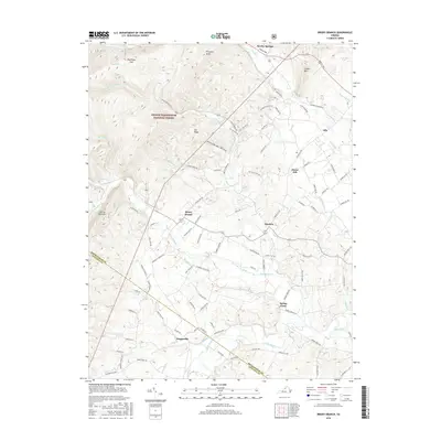
2016 Map of Briery Branch
USGS Topo · Published 2016About this map
The George Washington National Forest dominates the western landscape of this Rockingham County study, where the peaks of Narrow Back Mtn and Prospect Knob rise above the drainage of Briery Branch. In the valley to the east, a cluster of traditional settlements including Ottobine, Clover Hill, and Lilly are connected by a network of rural roads such as W Dry River Rd and Fulton School Rd. The map illustrates the transition from the steep, forested terrain of Mud Pond Gap to the agricultural flats near the North River. Notable water features like Union Springs Hollow Lake and the winding course of the Dry River near Rawley Springs highlight the importance of the local watershed. Further south, the boundary between Rockingham and Augusta counties crosses near Sangerville, providing a clear record of land use and civil boundaries in this part of the Shenandoah Valley during the mid-2010s.
Find a feature on this map
104 named features on this map. Tap any name to fly to it.
Don’t see what you’re looking for? This feature index may not catch every label — zoom into the map to look around manually.
Map Details
Editions of this 2016 Briery Branch Map
This is the sole edition of this map. No revisions or reprints were ever made.
Other maps of this area

1892 · Franklin
USGS Topo · 1:125,000

1892 · Woodstock
USGS Topo · 1:125,000

1892 · Harrisonburg
USGS Topo · 1:125,000

1894 · Staunton
USGS Topo · 1:125,000

1896 · Franklin
USGS Topo · 1:125,000

1922 · Fort Seybert
USGS Topo · 1:48,000

1924 · Fort Seybert
USGS Topo · 1:62,500

1941 · Harrisonburg
USGS Topo · 1:62,500

1943 · Harrisonburg
USGS Topo · 1:62,500

1944 · Parnassus
USGS Topo · 1:62,500