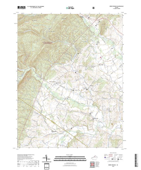
2022 Map of Briery Branch
USGS Topo · Published 2022About this map
George Washington National Forest blankets the western slopes of Narrow Back Mountain, where the terrain gives way to the agricultural valley of the North River. This landscape is defined by its deep genealogical roots, visible in the high density of small family and denominational burial grounds. In the shadow of Fox Ridge, the rural communities of Ottobine, Lilly, and Sangerville are connected by historical routes like Rawley Pike and Ottobine Road. The numerous specialized cemeteries, such as the Spring Creek Negro Cemetery and the Dry River Mennonite Church Cemetery, suggest a long-standing and diverse communal history. From the heights of Prospect Knob down to the water at Union Spring Hollow Lake, the map records a traditional Virginia mountain-and-valley settlement pattern where small villages developed along the bends of the Dry River and Spring Creek.
Find a feature on this map
62 named features on this map. Tap any name to fly to it.
Don’t see what you’re looking for? This feature index may not catch every label — zoom into the map to look around manually.
Map Details
Editions of this 2022 Briery Branch Map
This is the sole edition of this map. No revisions or reprints were ever made.
Other maps of this area

1892 · Franklin
USGS Topo · 1:125,000

1892 · Woodstock
USGS Topo · 1:125,000

1892 · Harrisonburg
USGS Topo · 1:125,000

1894 · Staunton
USGS Topo · 1:125,000

1896 · Franklin
USGS Topo · 1:125,000

1922 · Fort Seybert
USGS Topo · 1:48,000

1924 · Fort Seybert
USGS Topo · 1:62,500

1941 · Harrisonburg
USGS Topo · 1:62,500

1943 · Harrisonburg
USGS Topo · 1:62,500

1944 · Parnassus
USGS Topo · 1:62,500