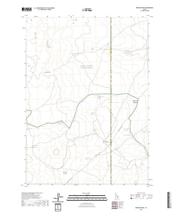
2023 Map of Brigham Point
USGS Topo · Published 2023About this map
Craters of the Moon National Preserve dominates this high-desert landscape in south-central Idaho, where the geography is defined by volcanic features and isolated water catchments. The terrain is marked by distinctive elevations such as Brigham Point and Whiskey Butte, while human activity is centered on the historic Minidoka To Arco Rd and the localized crossing at Cream Can Junction.
Find a feature on this map
24 named features on this map. Tap any name to fly to it.
Don’t see what you’re looking for? This feature index may not catch every label — zoom into the map to look around manually.
Map Details
Editions of this 2023 Brigham Point Map
This is the sole edition of this map. No revisions or reprints were ever made.
Other maps of this area

1954 · Pocatello
USGS Topo · 1:250,000

1955 · Idaho Falls
USGS Topo · 1:250,000

1958 · Idaho Falls
USGS Topo · 1:250,000

1958 · Pocatello
USGS Topo · 1:250,000

1972 · Schodde Well
USGS Topo · 1:24,000

1972 · Bear Trap Cave
USGS Topo · 1:24,000

1972 · Mule Butte
USGS Topo · 1:24,000

1972 · Bear Park SW
USGS Topo · 1:24,000

1972 · Minidoka
USGS Topo · 1:24,000

1972 · Max
USGS Topo · 1:24,000