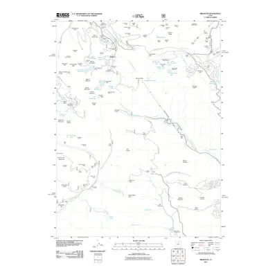
2011 Map of Brighton
USGS Topo · Published 2011About this map
Brighton serves as the central hub of this mountain terrain, characterized by a dense concentration of mining heritage and outdoor recreation. The landscape is marked by numerous vertical shafts and horizontal tunnels, including the Prince of Wales Shaft and the Scottish Chief Mine, testifying to a long history of extraction. These industrial marks share the slopes with recreational developments like the Brighton Ski Area and various camps such as the Cloud Rim Girl Scout Camp.
Find a feature on this map
126 named features on this map. Tap any name to fly to it.
Don’t see what you’re looking for? This feature index may not catch every label — zoom into the map to look around manually.
Map Details
Editions of this 2011 Brighton Map
This is the sole edition of this map. No revisions or reprints were ever made.
Other maps of this area

1885 · Salt Lake
USGS Topo · 1:250,000

1900 · Coalville
USGS Topo · 1:125,000

1903 · Coalville
USGS Topo · 1:125,000

1907 · Strawberry Valley
USGS Topo · 1:125,000

1909 · Strawberry Valley
USGS Topo · 1:125,000

1925 · Ft. Douglas
USGS Topo · 1:125,000

1928 · Ft. Douglas
USGS Topo · 1:125,000

1948 · Timpanogos Cave
USGS Topo · 1:24,000

1948 · Orem
USGS Topo · 1:62,500

1948 · Aspen Grove
USGS Topo · 1:24,000