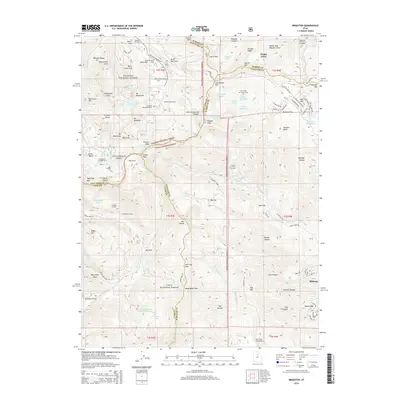
2014 Map of Brighton
USGS Topo · Published 2014About this map
Wasatch National Forest and Uinta National Forest converge in this high-elevation landscape, where the recreational development of the Central Wasatch is clearly documented. The map centered on the alpine basins above Midway and Park City shows the footprint of major winter sports hubs like Brighton Ski Resort and the Solitude Ski Area. Beyond the ski runs, the terrain is marked by a complex network of glacial lakes including Lake Mary, Lake Catherine, and Twin Lakes Reservoir. Subsurface history is noted through engineering features like the Snake Cr Tunnel, Smuggler Tunnel, and Centennial Tunnel, which reflect the region's mining and water management legacy. The map traces the rugged divide between Salt Lake, Summit, Wasatch, and Utah counties, illustrating how public lands like Albion Basin and the Cloud Rim Girl Scout Camp preserve the high-country character amidst surrounding municipal growth.
Find a feature on this map
131 named features on this map. Tap any name to fly to it.
Don’t see what you’re looking for? This feature index may not catch every label — zoom into the map to look around manually.
Map Details
Editions of this 2014 Brighton Map
This is the sole edition of this map. No revisions or reprints were ever made.
Other maps of this area

1885 · Salt Lake
USGS Topo · 1:250,000

1900 · Coalville
USGS Topo · 1:125,000

1903 · Coalville
USGS Topo · 1:125,000

1907 · Strawberry Valley
USGS Topo · 1:125,000

1909 · Strawberry Valley
USGS Topo · 1:125,000

1925 · Ft. Douglas
USGS Topo · 1:125,000

1928 · Ft. Douglas
USGS Topo · 1:125,000

1948 · Timpanogos Cave
USGS Topo · 1:24,000

1948 · Orem
USGS Topo · 1:62,500

1948 · Aspen Grove
USGS Topo · 1:24,000