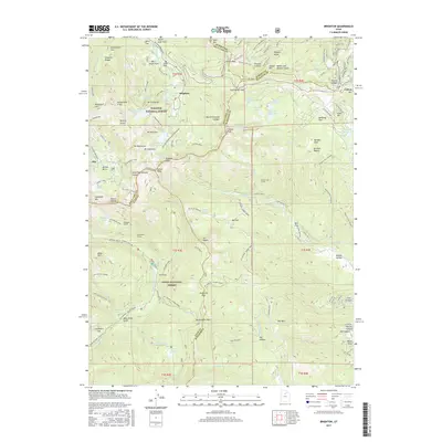
2017 Map of Brighton
USGS Topo · Published 2017About this map
Brighton and Alta anchor the high-elevation terrain of the Wasatch Range in this 2017 survey, where the legacy of hard-rock mining intersects with modern recreational land use. The map documents a complex subterranean landscape indicated by the Smuggler Tunnel, Centennial Tunnel, and the Snake Creek Tunnel, alongside active industrial remnants at Miller Hill Mining. These features point to the region's historical extractive economy, which once utilized the deep ravines of Grizzly Gulch and Mary Ellen Gulch.
Find a feature on this map
129 named features on this map. Tap any name to fly to it.
Don’t see what you’re looking for? This feature index may not catch every label — zoom into the map to look around manually.
Map Details
Editions of this 2017 Brighton Map
This is the sole edition of this map. No revisions or reprints were ever made.
Other maps of this area

1885 · Salt Lake
USGS Topo · 1:250,000

1900 · Coalville
USGS Topo · 1:125,000

1903 · Coalville
USGS Topo · 1:125,000

1907 · Strawberry Valley
USGS Topo · 1:125,000

1909 · Strawberry Valley
USGS Topo · 1:125,000

1925 · Ft. Douglas
USGS Topo · 1:125,000

1928 · Ft. Douglas
USGS Topo · 1:125,000

1948 · Timpanogos Cave
USGS Topo · 1:24,000

1948 · Orem
USGS Topo · 1:62,500

1948 · Aspen Grove
USGS Topo · 1:24,000