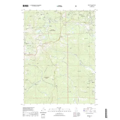
2020 Map of Brighton
USGS Topo · Published 2020About this map
High-altitude mountain terrain and legendary ski-country landscapes define this recent survey of the Central Wasatch Range. The map details the convergence of major recreation and mining history at Brighton, Alta, and the western edge of Park City. The landscape is a complex network of alpine basins and granite summits, including Pioneer Peak, Sunset Peak, and Sugarloaf Mtn. High-country water sources such as Lake Mary, Lake Catherine, and Lake Solitude are prominent, many linked by specialized trails like the Brighton Lakes trail system.
Find a feature on this map
125 named features on this map. Tap any name to fly to it.
Don’t see what you’re looking for? This feature index may not catch every label — zoom into the map to look around manually.
Map Details
Editions of this 2020 Brighton Map
This is the sole edition of this map. No revisions or reprints were ever made.
Other maps of this area

1885 · Salt Lake
USGS Topo · 1:250,000

1900 · Coalville
USGS Topo · 1:125,000

1903 · Coalville
USGS Topo · 1:125,000

1907 · Strawberry Valley
USGS Topo · 1:125,000

1909 · Strawberry Valley
USGS Topo · 1:125,000

1925 · Ft. Douglas
USGS Topo · 1:125,000

1928 · Ft. Douglas
USGS Topo · 1:125,000

1948 · Timpanogos Cave
USGS Topo · 1:24,000

1948 · Orem
USGS Topo · 1:62,500

1948 · Aspen Grove
USGS Topo · 1:24,000