
1915 Map of Brilliant
USGS Topo · Published 1915About this map
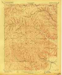
Maxwell Grant covers much of this high-plateau landscape along the Colorado-New Mexico border, where the industrial expansion of the early twentieth century is written into the terrain. The map captures the specialized rail-and-resource economy of the era, centered on the Atchison Topeka and Santa Fe and the St L R M and P railroad lines. These tracks reach into the deep drainages of the Canadian River to serve mining settlements like Brilliant and Van Houten.
Find a feature on this map
75 named features on this map. Tap any name to fly to it.
Don’t see what you’re looking for? This feature index may not catch every label — zoom into the map to look around manually.
Map Details
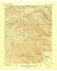
Editions of this 1915 Brilliant Map
3 editions found
Other maps of this area

1891 · Spanish Peaks
USGS Topo · 1:125,000

1892 · Elmoro
USGS Topo · 1:125,000

1893 · Spanish Peaks
USGS Topo · 1:125,000

1893 · Elmoro
USGS Topo · 1:125,000

1895 · Spanish Peaks
USGS Topo · 1:125,000

1897 · Elmoro
USGS Topo · 1:125,000

1897 · Spanish Peaks
USGS Topo · 1:125,000

1900 · Spanish Peaks
USGS Topo · 1:125,000

1912 · Raton
USGS Topo · 1:62,500

1914 · Raton
USGS Topo · 1:62,500