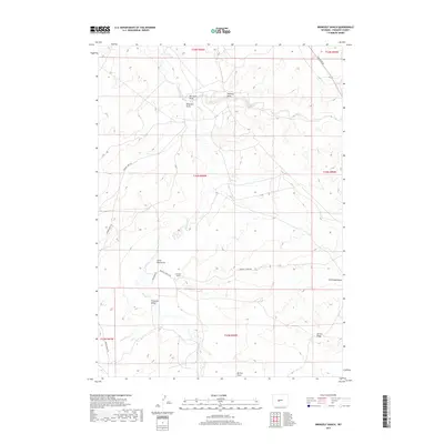
2017 Map of Bringolf Ranch
USGS Topo · Published 2017About this map
Bringolf Ranch stands as the primary namesake and central landmark in this portion of Fremont County, situated along Bringolf Ranch Rd in an area defined by its complex drainage network. The landscape is carved by a series of significant erosional features including Big Sand Draw, Halfway Draw, and Ninemile Draw, which all contribute to the seasonal hydrology of the region. The intermittent flow of Beaver Cr winds through the northern sections, while Little Sand Draw and Fivemile Draw shape the southern terrain.
Find a feature on this map
18 named features on this map. Tap any name to fly to it.
Don’t see what you’re looking for? This feature index may not catch every label — zoom into the map to look around manually.
Map Details
Editions of this 2017 Bringolf Ranch Map
This is the sole edition of this map. No revisions or reprints were ever made.
Other maps of this area

1953 · Arapahoe NE
USGS Topo · 1:24,000

1953 · Ninemile Hill
USGS Topo · 1:24,000

1953 · Bringolf Ranch
USGS Topo · 1:24,000

1953 · Arapahoe
USGS Topo · 1:24,000

1953 · Sand Draw
USGS Topo · 1:24,000

1953 · Dishpan Butte
USGS Topo · 1:24,000

1953 · Del Monte Ridge
USGS Topo · 1:24,000

1953 · Yellowstone Ranch
USGS Topo · 1:24,000

1955 · Lander
USGS Topo · 1:250,000

1958 · Lander
USGS Topo · 1:250,000