
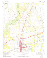
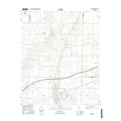
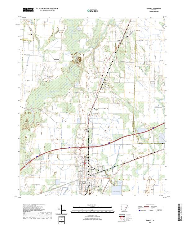
1990 Map of Brinkley
USGS Topo · Published 1991About this map
The Grand Prairie and Long Prairie dominate this 1990 survey of eastern Arkansas, revealing a landscape defined by its intricate drainage networks and agricultural development. Central to the region is the White River, which winds south past Des Arc and the Wattsenaw State Wildlife Management Area. The era's transportation infrastructure is clearly visible, with the Cotton Belt Route and Missouri Pacific RR crossing the territory to serve established trade centers like Brinkley, Carlisle, and Hazen.
Find a feature on this map
135 named features on this map. Tap any name to fly to it.
Don’t see what you’re looking for? This feature index may not catch every label — zoom into the map to look around manually.
Map Details
Editions of this 1990 Brinkley Map
This is the sole edition of this map. No revisions or reprints were ever made.
Historical Maps of Cabot Through Time
10 maps found
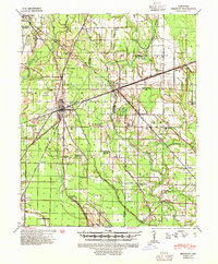
1940 Brinkley
Monroe County, AR
1958 Brinkley
Monroe County, AR
1971 Brinkley
Monroe County, AR

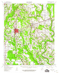
1986 Brinkley
Monroe County, AR
1990 Brinkley
Monroe County, AR
2011 Brinkley
Monroe County, AR

2014 Brinkley
Monroe County, AR
2017 Brinkley
Monroe County, AR

2020 Brinkley
Monroe County, AR
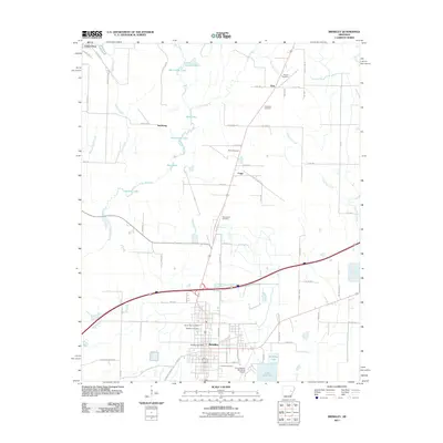
2024 Brinkley
Monroe County, AR