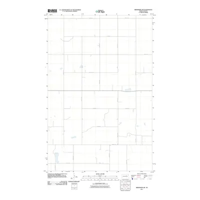
2011 Map of Brinsmade SW
USGS Topo · Published 2011About this map
Benson County's section-line grid defines this prairie landscape, revealing a highly organized system of agricultural access in the early twenty-first century. The terrain is structured by a network of rural roads such as 49th St NE and 51st Ave NE, which divide the land into the classic square-mile sections characteristic of the Great Plains. Scattered throughout this grid are numerous small wetlands and prairie potholes, including several water bodies near 46th St NE and 57th Ave NE. These ephemeral features suggest the local hydrology of the Devils Lake basin area. While no town sites appear on this specific sheet, the intersection of routes like 41st St NE and 54th Ave NE indicates the essential infrastructure supporting the region's ranching and farming operations during this era.
Find a feature on this map
15 named features on this map. Tap any name to fly to it.
Don’t see what you’re looking for? This feature index may not catch every label — zoom into the map to look around manually.
Map Details
Editions of this 2011 Brinsmade SW Map
This is the sole edition of this map. No revisions or reprints were ever made.
Other maps of this area

1932 · Flora
USGS Topo · 1:62,500

1943 · Maddock
USGS Topo · 1:62,500

1945 · Maddock
USGS Topo · 1:62,500

1951 · Flora
USGS Topo · 1:24,000

1951 · Josephine
USGS Topo · 1:24,000

1951 · Maddock
USGS Topo · 1:24,000

1951 · Flora
USGS Topo · 1:62,500

1952 · New Rockford
USGS Topo · 1:250,000

1953 · Devils Lake
USGS Topo · 1:250,000

1956 · New Rockford
USGS Topo · 1:250,000