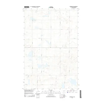
2014 Map of Brinsmade SW
USGS Topo · Published 2014About this map
Glacial prairie potholes and seasonal wetlands define this section of Benson County, where the landscape is carved into a regular grid of section roads. The east-west corridor of ND-19 serves as the primary artery through this agricultural terrain, intersecting with local routes like CR-0319 and 55th Ave NE. The drainage patterns and numerous unnamed water bodies shown here are characteristic of the Drift Prairie, illustrating how hydrology dictates the placement of rural homesteads and transit lines. While predominantly open country, the map documents the precise placement of north-south connectors such as 53rd Ave NE and 57th Ave NE that link the scattered farmsteads of the region. This 2014 survey captures the persistence of the original land survey system in North Dakota's rural interior.
Find a feature on this map
17 named features on this map. Tap any name to fly to it.
Don’t see what you’re looking for? This feature index may not catch every label — zoom into the map to look around manually.
Map Details
Editions of this 2014 Brinsmade SW Map
This is the sole edition of this map. No revisions or reprints were ever made.
Other maps of this area

1932 · Flora
USGS Topo · 1:62,500

1943 · Maddock
USGS Topo · 1:62,500

1945 · Maddock
USGS Topo · 1:62,500

1951 · Flora
USGS Topo · 1:24,000

1951 · Josephine
USGS Topo · 1:24,000

1951 · Maddock
USGS Topo · 1:24,000

1951 · Flora
USGS Topo · 1:62,500

1952 · New Rockford
USGS Topo · 1:250,000

1953 · Devils Lake
USGS Topo · 1:250,000

1956 · New Rockford
USGS Topo · 1:250,000