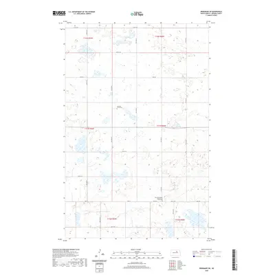
2020 Map of Brinsmade SW
USGS Topo · Published 2020About this map
The prairie landscape of Benson County is defined here by the systematic grid of section lines and rural crossroads that organized North Dakota agriculture during the early 21st century. Saint Olaf Church Cem and the West Minnewaukan Lutheran Free Church Cem serve as the primary cultural landmarks, marking the spiritual and communal centers of the local Scandinavian-descendant farming community. The map illustrates a high-density wetland environment, with numerous small basins and prairie potholes scattered throughout the townships of T154N, T153N, and T152N. Transportation is facilitated by a network of gravel and local roads including Toso Rd and Stolz Rd, which connect the dispersed farmsteads across the township ranges. This survey provides a precise look at the drainage patterns and land use in a region where the natural hydrology and the rectilinear survey system intersect.
Find a feature on this map
26 named features on this map. Tap any name to fly to it.
Don’t see what you’re looking for? This feature index may not catch every label — zoom into the map to look around manually.
Map Details
Editions of this 2020 Brinsmade SW Map
This is the sole edition of this map. No revisions or reprints were ever made.
Other maps of this area

1932 · Flora
USGS Topo · 1:62,500

1943 · Maddock
USGS Topo · 1:62,500

1945 · Maddock
USGS Topo · 1:62,500

1951 · Flora
USGS Topo · 1:24,000

1951 · Josephine
USGS Topo · 1:24,000

1951 · Maddock
USGS Topo · 1:24,000

1951 · Flora
USGS Topo · 1:62,500

1952 · New Rockford
USGS Topo · 1:250,000

1953 · Devils Lake
USGS Topo · 1:250,000

1956 · New Rockford
USGS Topo · 1:250,000