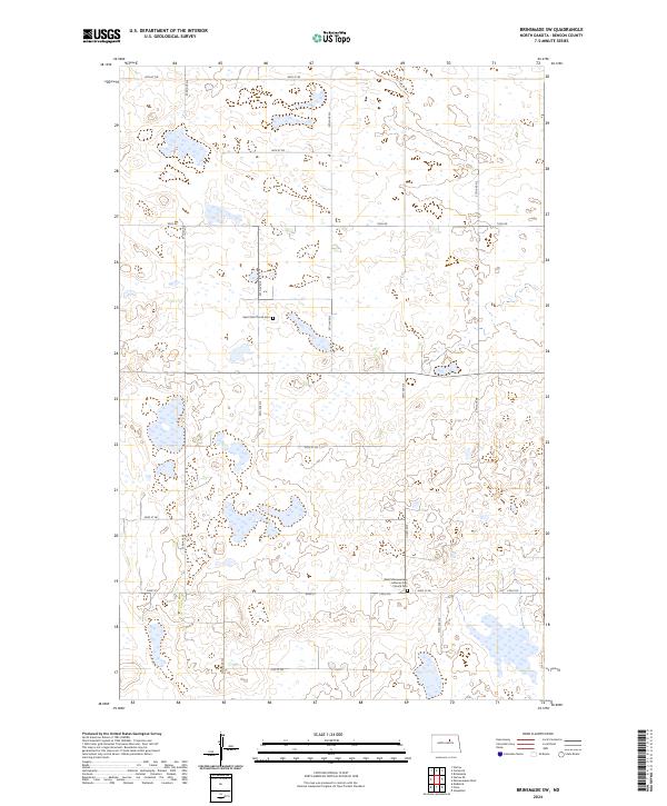
2024 Map of Brinsmade SW
USGS Topo · Published 2024About this map
The Benson County Waterfowl Production Area dominates several sections of this North Dakota landscape, reflecting the region's importance for migratory bird conservation and wetland preservation. This high-resolution survey from the U.S. Geological Survey reveals a prairie environment where land use is dictated by scattered small water bodies and seasonal wetlands. Rural life is anchored by two spiritual and genealogical landmarks: Saint Olaf Church Cem and the West Minnewaukan Lutheran Free Church Cem. The road network follows the rigid Public Land Survey System, with thoroughfares like Toso Rd, Stolz Rd, and numbered routes such as 44th St NE cutting straight lines across the township and range boundaries. The map provides a precise account of the modern rural infrastructure and conservation footprint in Benson County.
Find a feature on this map
20 named features on this map. Tap any name to fly to it.
Don’t see what you’re looking for? This feature index may not catch every label — zoom into the map to look around manually.
Map Details
Editions of this 2024 Brinsmade SW Map
This is the sole edition of this map. No revisions or reprints were ever made.
Other maps of this area

1932 · Flora
USGS Topo · 1:62,500

1943 · Maddock
USGS Topo · 1:62,500

1945 · Maddock
USGS Topo · 1:62,500

1951 · Flora
USGS Topo · 1:24,000

1951 · Josephine
USGS Topo · 1:24,000

1951 · Maddock
USGS Topo · 1:24,000

1951 · Flora
USGS Topo · 1:62,500

1952 · New Rockford
USGS Topo · 1:250,000

1953 · Devils Lake
USGS Topo · 1:250,000

1956 · New Rockford
USGS Topo · 1:250,000