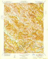
1949 Map of Briones Valley
USGS Topo · Published 1949About this map
San Pablo Reservoir dominates the western canyons of this Contra Costa County landscape, serving as a focal point for the complex drainage systems of Bear Creek and San Pablo Road. The interior is defined by the sharp relief of the Briones Hills and the sprawling La Boca de la Canada del Pinole, where the rural character of the late 1940s is still evident. Small clusters of development at Orinda Village and Lafayette sit at the southern edge, while the northern reaches remain sparsely settled, marked only by the Atchison Topeka and Santa Fe line and the isolated Briones Valley Sch.
Find a feature on this map
43 named features on this map. Tap any name to fly to it.
Don’t see what you’re looking for? This feature index may not catch every label — zoom into the map to look around manually.
Map Details
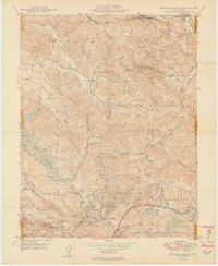
Editions of this 1949 Briones Valley Map
2 editions found
Other maps of this area

1895 · San Francisco
USGS Topo · 1:62,500

1896 · Carquinez Strait
USGS Topo · 1:62,500

1897 · Concord
USGS Topo · 1:62,500

1898 · Karquines
USGS Topo · 1:62,500

1899 · San Francisco
USGS Topo · 1:62,500

1901 · Karquines
USGS Topo · 1:62,500

1902 · Napa
USGS Topo · 1:125,000

1915 · Concord
USGS Topo · 1:62,500

1915 · San Francisco
USGS Topo · 1:62,500

1916 · Mare Island
USGS Topo · 1:62,500