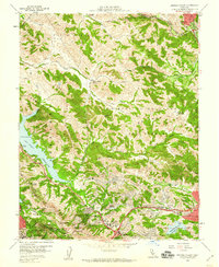
1959 Map of Briones Valley
USGS Topo · Published 1960About this map
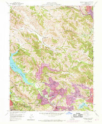
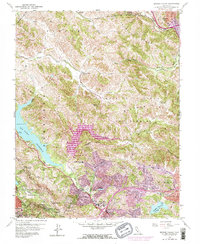
La Boca de la Cañada del Pinole defines the central canyon landscape of this East Bay survey, where rural valleys and early suburban expansion meet. The map documents the residential growth of Lafayette and Orinda Village at the southern edge, contrasting with the open ridgelines of Briones Hills and Sobrante Ridge. Strategic water infrastructure is a dominant theme, including the sprawling San Pablo Reservoir, the Mokelumne Aqueduct, and Lafayette Reservoir. Transportation and education networks are well-established, from the Atchison Topeka and Santa Fe railroad in the north to local landmarks like Briones Valley School and Sleepy Hollow School. The map captures the complex terrain of the Briones Valley before later decades of densification, preserving the names of small settlements like Glen Frazer and Christie along the rail line.
Find a feature on this map
70 named features on this map. Tap any name to fly to it.
Don’t see what you’re looking for? This feature index may not catch every label — zoom into the map to look around manually.
Map Details
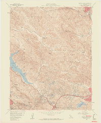
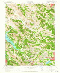
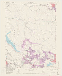
Editions of this 1959 Briones Valley Map
6 editions found
Other maps of this area

1895 · San Francisco
USGS Topo · 1:62,500

1896 · Carquinez Strait
USGS Topo · 1:62,500

1897 · Concord
USGS Topo · 1:62,500

1898 · Karquines
USGS Topo · 1:62,500

1899 · San Francisco
USGS Topo · 1:62,500

1901 · Karquines
USGS Topo · 1:62,500

1902 · Napa
USGS Topo · 1:125,000

1915 · Concord
USGS Topo · 1:62,500

1915 · San Francisco
USGS Topo · 1:62,500

1916 · Mare Island
USGS Topo · 1:62,500