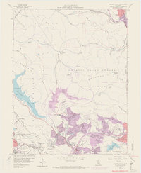
1959 Map of Briones Valley
USGS Topo · Published 1969About this map
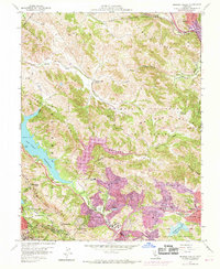
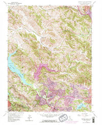
Briones Reservoir and San Pablo Reservoir dominate the center of this map, illustrating the critical role of water infrastructure in the mid-century development of Contra Costa County. This 1959 survey, updated with 1968 aerial data, shows the rapid expansion of suburban residential zones in purple around Orinda and Lafayette, encroaching on the once-rural character of La Boca de la Cañada del Pinole. The landscape is a network of ridges, including Oursan Ridge and Sobrante Ridge, which define the valley floors where older landmarks like the Briones Valley School and the Mokelumne Aqueduct persist. The northern edge reveals the industrial and transport corridor near Martinez, where the Atchison Topeka and Santa Fe railroad skirts Franklin Canyon. The transition from open range to master-planned communities is evident in the layout of the Orinda Country Club and the preservation of Charles Lee Tilden Regional Park.
Find a feature on this map
81 named features on this map. Tap any name to fly to it.
Don’t see what you’re looking for? This feature index may not catch every label — zoom into the map to look around manually.
Map Details
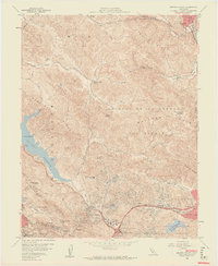
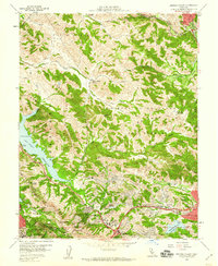
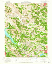
Editions of this 1959 Briones Valley Map
6 editions found
Other maps of this area

1895 · San Francisco
USGS Topo · 1:62,500

1896 · Carquinez Strait
USGS Topo · 1:62,500

1897 · Concord
USGS Topo · 1:62,500

1898 · Karquines
USGS Topo · 1:62,500

1899 · San Francisco
USGS Topo · 1:62,500

1901 · Karquines
USGS Topo · 1:62,500

1902 · Napa
USGS Topo · 1:125,000

1915 · Concord
USGS Topo · 1:62,500

1915 · San Francisco
USGS Topo · 1:62,500

1916 · Mare Island
USGS Topo · 1:62,500