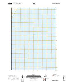
2019 Map of Bristol Bay B-1 NW
USGS Topo · Published 2019About this map
Bristol Bay dominates this coastal maritime survey, providing a precise look at a segment of the northern Pacific waters within the Lake and Peninsula Borough. The sheet is defined entirely by its aquatic extent, representing the open water environment of the Bering Sea's southeastern arm. Produced by the U.S. Geological Survey, this 2019 edition focuses on the hydrography of the region rather than terrestrial topography, as the quadrangle covers a stretch of the bay where no landmasses or coastal features are present. For maritime researchers or those studying the geographic boundaries of Alaska's southwestern reaches, it offers a clear view of the charted area's coordinates and grid positioning within the Bristol Bay system.
Find a feature on this map
1 named feature on this map. Tap any name to fly to it.
Don’t see what you’re looking for? This feature index may not catch every label — zoom into the map to look around manually.
Map Details
Editions of this 2019 Bristol Bay B-1 NW Map
This is the sole edition of this map. No revisions or reprints were ever made.
Other maps of this area

1951 · Bristol Bay
USGS Topo · 1:250,000

1963 · Bristol Bay
USGS Topo · 1:250,000
1963 · Bristol Bay B-1
USGS Topo · 1:63,360
1967 · Bristol Bay
USGS Topo · 1:250,000
2019 · Bristol Bay B-1 SE
USGS Topo · 1:25,000
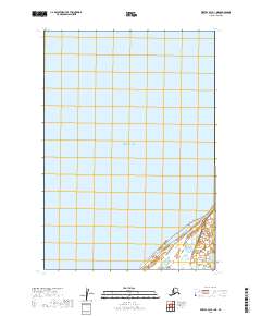
2019 · Bristol Bay B-1 NE
USGS Topo · 1:25,000
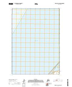
2019 · Bristol Bay B-1 OE W SE
USGS Topo · 1:25,000
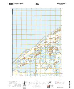
2019 · Bristol Bay B-1 SW
USGS Topo · 1:25,000