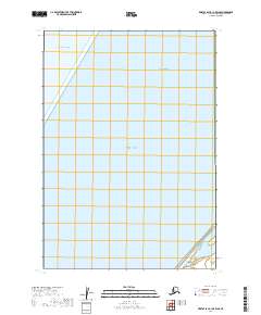
2019 Map of Bristol Bay B-1 OE W SE
USGS Topo · Published 2019About this map
Bristol Bay dominates this marine-focused survey, where the waters of the Bering Sea and the Pacific Ocean meet in the remote Southwest Alaska maritime environment. Produced by the U.S. Geological Survey, the chart documents the coastal transitions and the vast aquatic expanse of the Lake and Peninsula Borough. The map provides precise Public Land Survey System data, delineating maritime boundaries and township sections such as t33s r56w and t34s r57w along the edge of the continental shelf. This cartographic study is primarily an offshore record, emphasizing the scale of Alaska’s coastal waters and the grid systems that extend into the bay, serving as a foundational document for understanding the maritime geography and jurisdictional boundaries of this subarctic region.
Find a feature on this map
22 named features on this map. Tap any name to fly to it.
Don’t see what you’re looking for? This feature index may not catch every label — zoom into the map to look around manually.
Map Details
Editions of this 2019 Bristol Bay B-1 OE W SE Map
This is the sole edition of this map. No revisions or reprints were ever made.
Other maps of this area

1951 · Bristol Bay
USGS Topo · 1:250,000

1963 · Bristol Bay
USGS Topo · 1:250,000
1963 · Bristol Bay A-2
USGS Topo · 1:63,360

1963 · Bristol Bay A-1
USGS Topo · 1:63,360
1963 · Bristol Bay B-1
USGS Topo · 1:63,360
1967 · Bristol Bay
USGS Topo · 1:250,000
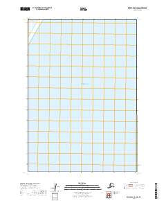
2019 · Bristol Bay B-1 NW
USGS Topo · 1:25,000
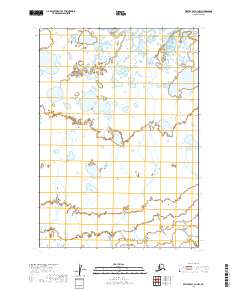
2019 · Bristol Bay A-1 NW
USGS Topo · 1:25,000
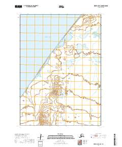
2019 · Bristol Bay A-2 NE
USGS Topo · 1:25,000
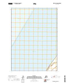
2019 · Bristol Bay A-2 NW
USGS Topo · 1:25,000