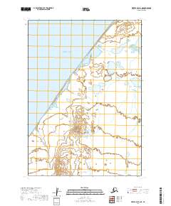
2019 Map of Bristol Bay A-2 NE
USGS Topo · Published 2019About this map
Bristol Bay dominates the western half of this landscape, its waters meeting an intricate coastline of wetlands and small tidal inlets. The map illustrates the interface where the bay interacts with the low-lying terrain of the Lake and Peninsula Borough, characterized by numerous small lakes and ponds scattered across the eastern interior. Survey lines from the Public Land Survey System, including t34s r57w and t35s r57w, provide a structural grid over this remote coastal environment. The absence of named settlements or infrastructure highlights the purely natural state of this shoreline in the early twenty-first century, offering a clear view of the drainage patterns and topographic contours that define this portion of the Alaskan peninsula.
Find a feature on this map
5 named features on this map. Tap any name to fly to it.
Don’t see what you’re looking for? This feature index may not catch every label — zoom into the map to look around manually.
Map Details
Editions of this 2019 Bristol Bay A-2 NE Map
This is the sole edition of this map. No revisions or reprints were ever made.
Other maps of this area

1951 · Bristol Bay
USGS Topo · 1:250,000

1963 · Bristol Bay
USGS Topo · 1:250,000
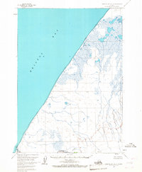
1963 · Bristol Bay A-2
USGS Topo · 1:63,360

1963 · Bristol Bay A-1
USGS Topo · 1:63,360
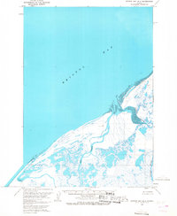
1963 · Bristol Bay B-1
USGS Topo · 1:63,360
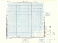
1967 · Bristol Bay
USGS Topo · 1:250,000
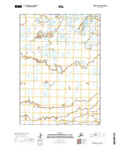
2019 · Bristol Bay A-1 NW
USGS Topo · 1:25,000
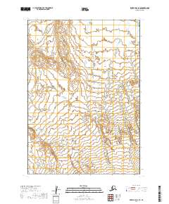
2019 · Bristol Bay A-2 SE
USGS Topo · 1:25,000
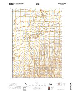
2019 · Bristol Bay A-1 SW
USGS Topo · 1:25,000
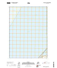
2019 · Bristol Bay B-1 OE W SE
USGS Topo · 1:25,000