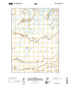
2019 Map of Bristol Bay A-1 NW
USGS Topo · Published 2019About this map
A water-dominated landscape of the Lake and Peninsula Borough defines this 2019 survey, characterized by a dense network of ponds and wetlands at the edge of Bristol Bay. The primary named drainage through this hydrologically complex terrain is Mud Creek, also labeled as Mud Cr, which meanders through a labyrinth of small lakes and seasonal basins. This environment reflects the dynamic nature of the Alaska Peninsula, where the landscape is constantly reshaped by tidal influences and drainage patterns across a nearly level coastal plain. The map reveals the intricate natural boundaries of the region, emphasizing the remote and wild character of this section of the Bristol Bay coast before it transitions into the interior highlands.
Find a feature on this map
6 named features on this map. Tap any name to fly to it.
Don’t see what you’re looking for? This feature index may not catch every label — zoom into the map to look around manually.
Map Details
Editions of this 2019 Bristol Bay A-1 NW Map
This is the sole edition of this map. No revisions or reprints were ever made.
Other maps of this area

1951 · Bristol Bay
USGS Topo · 1:250,000

1963 · Bristol Bay
USGS Topo · 1:250,000
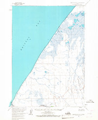
1963 · Bristol Bay A-2
USGS Topo · 1:63,360

1963 · Bristol Bay A-1
USGS Topo · 1:63,360
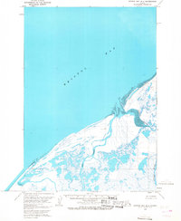
1963 · Bristol Bay B-1
USGS Topo · 1:63,360
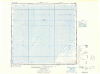
1967 · Bristol Bay
USGS Topo · 1:250,000
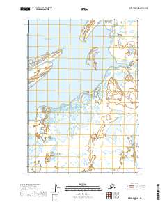
2019 · Bristol Bay B-1 SE
USGS Topo · 1:25,000
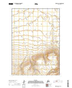
2019 · Bristol Bay A-1 SE
USGS Topo · 1:25,000
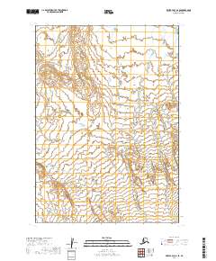
2019 · Bristol Bay A-2 SE
USGS Topo · 1:25,000
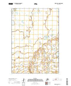
2019 · Bristol Bay A-1 NE
USGS Topo · 1:25,000