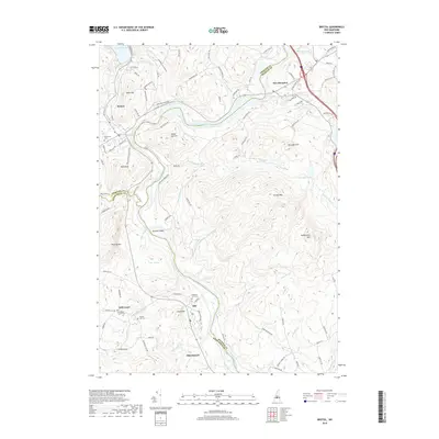
2018 Map of Bristol
USGS Topo · Published 2018About this map
The Pemigewasset River winds south through this New Hampshire corridor, serving as a natural boundary for several townships and counties. Near the northern reach, the town of Bristol sits at the confluence where the Newfound River drains from Newfound Lake. This area is characterized by significant topographic relief, with prominent peaks like Burleigh Mtn, Hersey Mtn, and Sanbornton Mtn rising above the river valley.
Find a feature on this map
95 named features on this map. Tap any name to fly to it.
Don’t see what you’re looking for? This feature index may not catch every label — zoom into the map to look around manually.
Map Details
Editions of this 2018 Bristol Map
This is the sole edition of this map. No revisions or reprints were ever made.
Other maps of this area

1925 · Holderness
USGS Topo · 1:62,500

1927 · Penacook
USGS Topo · 1:62,500

1927 · Holderness
USGS Topo · 1:62,500

1927 · Cardigan
USGS Topo · 1:62,500

1928 · Mount Kearsarge
USGS Topo · 1:62,500

1930 · Cardigan
USGS Topo · 1:62,500

1931 · Mount Kearsarge
USGS Topo · 1:62,500

1949 · Portland
USGS Topo · 1:250,000

1956 · Cardigan
USGS Topo · 1:62,500

1956 · Penacook
USGS Topo · 1:62,500