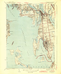
1943 Map of Bristol
USGS Topo · Published 1943About this map
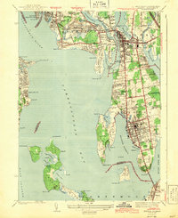
Bristol and Warren anchor this 1939 survey of the East Bay, documenting a coastal landscape defined by the Narragansett Bay and the Providence River. The map shows the dense residential grids of the towns contrasted with the open reaches of Rumstick Neck and the Popasquash peninsula. Critical local infrastructure is captured before the era of modern highway expansion, including the New Haven RR line and the Mount Hope Bridge connecting to Portsmouth. Genealogists will find significant value in the mapped locations of the South Burial Grounds and Juniper Hill Cem, alongside public institutions like the Soldiers Home. The survey also details the smaller islands of Patience Island and Hog Island, showing the intricate shoreline of coves like Bullock Cove and Potter Cove at the height of the mid-century period.
Find a feature on this map
123 named features on this map. Tap any name to fly to it.
Don’t see what you’re looking for? This feature index may not catch every label — zoom into the map to look around manually.
Map Details
Editions of this 1943 Bristol Map
2 editions found
Other maps of this area

1885 · Taunton
USGS Topo · 1:62,500

1887 · Providence
USGS Topo · 1:62,500

1888 · Fall River
USGS Topo · 1:62,500

1888 · Taunton
USGS Topo · 1:62,500

1889 · Providence
USGS Topo · 1:62,500

1890 · Narragansett Bay
USGS Topo · 1:62,500

1892 · Narragansett Bay
USGS Topo · 1:62,500

1893 · Taunton
USGS Topo · 1:62,500

1893 · Fall River
USGS Topo · 1:62,500

1894 · Providence
USGS Topo · 1:62,500