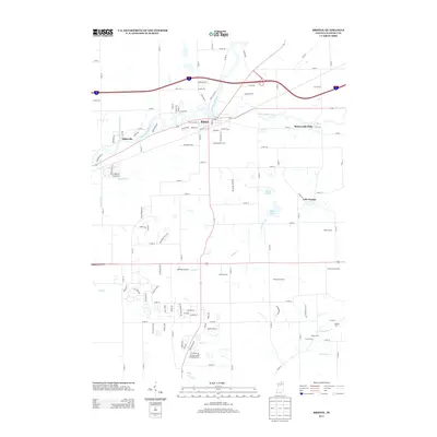
2013 Map of Bristol
USGS Topo · Published 2013About this map
The Saint Joseph River and the Little Elkhart River converge near the town of Bristol, anchoring a landscape defined by its waterways and agricultural heritage. This 2013 survey illustrates the developed corridor of Bristol alongside the more rural, named agricultural tracts such as Harmony Acre Farm, Hoobirk Farm, and Old Oak Farm. To the east, the settlement of Bonneyville Mills points to the area's early industrial history where water power once drove local commerce.
Find a feature on this map
114 named features on this map. Tap any name to fly to it.
Don’t see what you’re looking for? This feature index may not catch every label — zoom into the map to look around manually.
Map Details
Editions of this 2013 Bristol Map
This is the sole edition of this map. No revisions or reprints were ever made.
Other maps of this area

1914 · Three Rivers
USGS Topo · 1:62,500

1916 · Three Rivers
USGS Topo · 1:62,500

1943 · Three Rivers
USGS Topo · 1:62,500

1948 · Vandalia
USGS Topo · 1:62,500

1949 · Vandalia
USGS Topo · 1:62,500

1953 · Fort Wayne
USGS Topo · 1:250,000

1956 · Fort Wayne
USGS Topo · 1:250,000

1959 · Millersburg
USGS Topo · 1:24,000

1959 · Goshen
USGS Topo · 1:24,000

1960 · Foraker
USGS Topo · 1:24,000