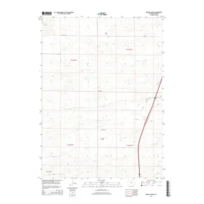
2015 Map of Bristol Ridge
USGS Topo · Published 2015About this map
McDonald Ranch and several other family-named landholdings define the rural character of this Laramie County landscape. Located south of Chalk Hill, the area is marked by a network of seasonal watercourses and drainage features like Sweet Draw and McCann Draw, which feed into the N Bear Cr system. The map reflects a modern grazing and ranching economy, with scattered improvements and remote rural roads such as Chalk Hill Rd and True Rd connecting isolated properties.
Find a feature on this map
30 named features on this map. Tap any name to fly to it.
Don’t see what you’re looking for? This feature index may not catch every label — zoom into the map to look around manually.
Map Details
Editions of this 2015 Bristol Ridge Map
This is the sole edition of this map. No revisions or reprints were ever made.
Other maps of this area

1905 · Sherman
USGS Topo · 1:125,000

1911 · Cheyenne
USGS Topo · 1:125,000

1914 · Cheyenne
USGS Topo · 1:125,000

1954 · Cheyenne
USGS Topo · 1:250,000

1958 · Cheyenne
USGS Topo · 1:250,000

1962 · Dereemer Ranch
USGS Topo · 1:24,000

1962 · Moffett Ranch
USGS Topo · 1:24,000

1962 · Lewis Ranch
USGS Topo · 1:24,000

1962 · Bristol Ridge
USGS Topo · 1:24,000

1962 · Hirsig Ranch
USGS Topo · 1:24,000