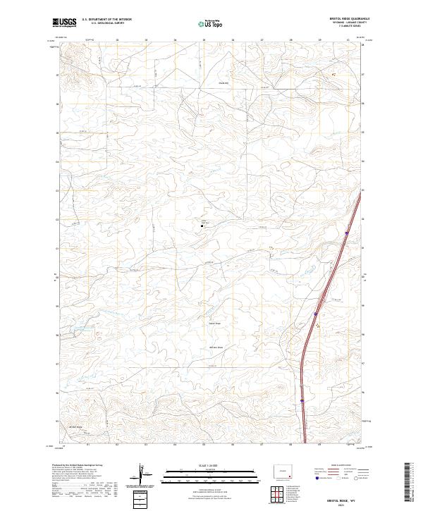
2021 Map of Bristol Ridge
USGS Topo · Published 2021About this map
High plains ranching culture is the defining characteristic of this Laramie County landscape, where family-named operations like McDonald Ranch, Hirsig Ranch, and Moffett Ranch anchor a network of rural roads. The terrain is marked by the eponymous Bristol Ridge in the south and Chalk Hill to the north, creating a series of drainages and seasonal draws including Sweet Draw and McCann Draw. Water management in this semi-arid environment is visible through features like the Nimmo Reservoir Number 9, supporting livestock across the vast tracts of T19N and T18N.
Find a feature on this map
37 named features on this map. Tap any name to fly to it.
Don’t see what you’re looking for? This feature index may not catch every label — zoom into the map to look around manually.
Map Details
Editions of this 2021 Bristol Ridge Map
This is the sole edition of this map. No revisions or reprints were ever made.
Other maps of this area

1905 · Sherman
USGS Topo · 1:125,000

1911 · Cheyenne
USGS Topo · 1:125,000

1914 · Cheyenne
USGS Topo · 1:125,000

1954 · Cheyenne
USGS Topo · 1:250,000

1958 · Cheyenne
USGS Topo · 1:250,000

1962 · Dereemer Ranch
USGS Topo · 1:24,000

1962 · Moffett Ranch
USGS Topo · 1:24,000

1962 · Lewis Ranch
USGS Topo · 1:24,000

1962 · Bristol Ridge
USGS Topo · 1:24,000

1962 · Hirsig Ranch
USGS Topo · 1:24,000