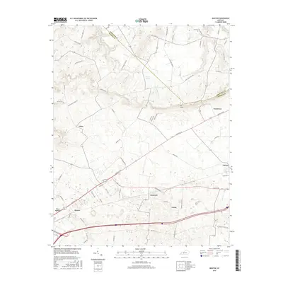
2016 Map of Bristow
USGS Topo · Published 2016About this map
The Knobs rise prominently across this portion of Warren County, defining the local relief where the Edmonson and Warren County line intersects the landscape. This 2016 survey documents a network of rural settlements and agricultural corridors anchored by Bristow, Sunnyside, and Oakland. The area's karst-like geography is evident through features like Boiling Spring and the winding course of Little Beaverdam Cr.
Find a feature on this map
61 named features on this map. Tap any name to fly to it.
Don’t see what you’re looking for? This feature index may not catch every label — zoom into the map to look around manually.
Map Details
Editions of this 2016 Bristow Map
This is the sole edition of this map. No revisions or reprints were ever made.
Other maps of this area

1921 · Bowling Green
USGS Topo · 1:62,500

1922 · Brownsville
USGS Topo · 1:62,500

1922 · Mammoth Cave
USGS Topo · 1:62,500

1923 · Bowling Green
USGS Topo · 1:62,500

1923 · Mammoth Cave
USGS Topo · 1:62,500

1923 · Brownsville
USGS Topo · 1:62,500

1926 · Scottsville
USGS Topo · 1:62,500

1954 · Evansville
USGS Topo · 1:250,000

1954 · Bowling Green North
USGS Topo · 1:24,000

1954 · Bristow
USGS Topo · 1:24,000