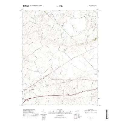
2019 Map of Bristow
USGS Topo · Published 2019About this map
Bowling Green expands into its northeastern rural surroundings on this 2019 survey, where the landscape is defined by a dense network of country roads and agricultural settlements. The transition from the urban reach of Bristow and Plum Springs into the more open terrain of Girkin and Oakland illustrates the steady development patterns along the Louisville Rd corridor. The geography is punctuated by small water features like Boiling Spring and Little Beaverdam Cr, which flow through the rolling countryside between Warren Co and Edmonson Co.
Find a feature on this map
87 named features on this map. Tap any name to fly to it.
Don’t see what you’re looking for? This feature index may not catch every label — zoom into the map to look around manually.
Map Details
Editions of this 2019 Bristow Map
This is the sole edition of this map. No revisions or reprints were ever made.
Other maps of this area

1921 · Bowling Green
USGS Topo · 1:62,500

1922 · Brownsville
USGS Topo · 1:62,500

1922 · Mammoth Cave
USGS Topo · 1:62,500

1923 · Bowling Green
USGS Topo · 1:62,500

1923 · Mammoth Cave
USGS Topo · 1:62,500

1923 · Brownsville
USGS Topo · 1:62,500

1926 · Scottsville
USGS Topo · 1:62,500

1954 · Evansville
USGS Topo · 1:250,000

1954 · Bowling Green North
USGS Topo · 1:24,000

1954 · Bristow
USGS Topo · 1:24,000