Loading...
Loading map...2022 Map of Britton
USGS Topo · Published 2022About this map
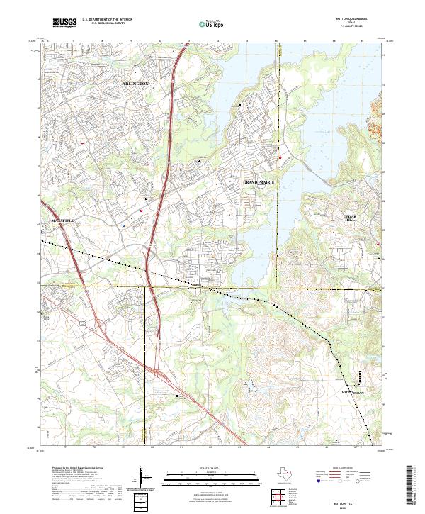
The community of Britton serves as a central hub where the borders of Tarrant, Johnson, Dallas, and Ellis counties converge. This modern survey illustrates the residential expansion of Arlington, Grand Prairie, Mansfield, and Cedar Hill as they press into the rural landscape. The eastern portion of the map is dominated by the expansive Joe Pool Lake, a major hydrologic feature that reshaped the local geography.
Find a feature on this map
257 named features on this map. Tap any name to fly to it.
Don’t see what you’re looking for? This feature index may not catch every label — zoom into the map to look around manually.
Map Details
Date Portrayed2022
Date Published2022
PublisherU.S. Geological Survey
Map TypeTopographic
Scale1:24000
Physical Dimensions24 x 29 inches
Editions of this 2022 Britton Map
This is the sole edition of this map. No revisions or reprints were ever made.
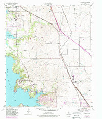
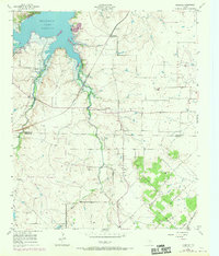
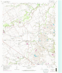
Historical Maps of Arlington Through Time
7 maps found
Featured Locations
Source Details
SourceU.S. Geological Survey
CopyrightPublic Domain