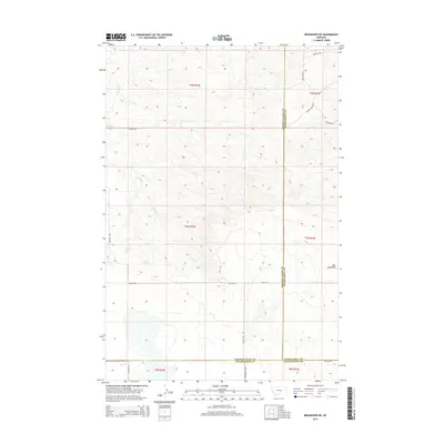
2014 Map of Broadview NE
USGS Topo · Published 2014About this map
Bull Mountains rise in the eastern portion of this high plains landscape, where the borders of Golden Valley, Musselshell, and Yellowstone counties converge. The drainage patterns of Painted Robe Cr, Spring Cr, and Sand Cr define the undulating topography, reflecting a rural Montana environment shaped by seasonal watercourses.
Find a feature on this map
25 named features on this map. Tap any name to fly to it.
Don’t see what you’re looking for? This feature index may not catch every label — zoom into the map to look around manually.
Map Details
Editions of this 2014 Broadview NE Map
This is the sole edition of this map. No revisions or reprints were ever made.
Other maps of this area

1954 · Roundup
USGS Topo · 1:250,000

1958 · Roundup
USGS Topo · 1:250,000

1979 · Roundup
USGS Topo · 1:100,000

1979 · Bundy
USGS Topo · 1:24,000

1979 · Lavina
USGS Topo · 1:24,000

1979 · Belmont
USGS Topo · 1:24,000

1979 · Elso
USGS Topo · 1:24,000
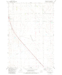
1979 · Broadview East
USGS Topo · 1:24,000
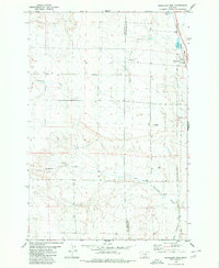
1980 · Broadview West
USGS Topo · 1:24,000
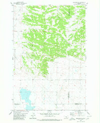
1980 · Broadview NE
USGS Topo · 1:24,000