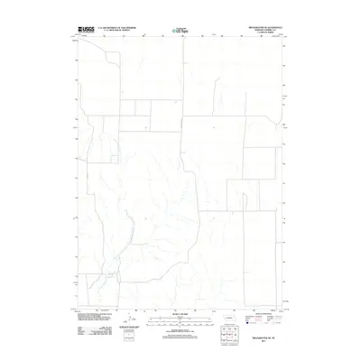
2011 Map of Broadwater NE
USGS Topo · Published 2011About this map
Lower Dugout Creek meanders through this portion of Morrill County, shaping a landscape defined by seasonal watercourses and a regular grid of section lines. This 2011 survey illustrates the agricultural organization of the Nebraska panhandle, where drainage patterns are deeply etched into the plains. The transport network is anchored by Broadwater Rd and N Co Rd, which serve as the primary conduits for rural access across the open terrain. The map's topographic data reveals the subtle elevation changes that direct the flow of intermittent streams toward the North Platte River valley located to the south.
Find a feature on this map
3 named features on this map. Tap any name to fly to it.
Don’t see what you’re looking for? This feature index may not catch every label — zoom into the map to look around manually.
Map Details
Editions of this 2011 Broadwater NE Map
This is the sole edition of this map. No revisions or reprints were ever made.
Other maps of this area

1896 · Browns Creek
USGS Topo · 1:125,000

1899 · Browns Creek
USGS Topo · 1:125,000

1949 · Lynn
USGS Topo · 1:62,500

1950 · Storm Lake
USGS Topo · 1:62,500

1954 · Scottsbluff
USGS Topo · 1:250,000

1958 · Scottsbluff
USGS Topo · 1:250,000

1965 · Broadwater
USGS Topo · 1:24,000

1965 · Broadwater NW
USGS Topo · 1:24,000

1965 · Broadwater SW
USGS Topo · 1:24,000

1965 · Broadwater NE
USGS Topo · 1:24,000