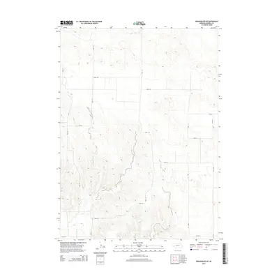
2014 Map of Broadwater NE
USGS Topo · Published 2014About this map
Lower Dugout Cr carves a winding path through this high plains section of Morrill County, where the topography transitions from steady plateaus into more complex drainages. The landscape is defined by a strict section-line road grid, including Road 100 and Road 125, which organize the agricultural and ranching parcels of the Nebraska panhandle. This 2014 survey reveals the persistent geometry of Western land management, where arterial routes like Road 129 navigate the subtle shifts in elevation. The concentration of labeled routes such as Road 135 and Road 88 in the southern portion suggests the proximity of more frequent travel corridors between regional ranching operations and nearby communities.
Find a feature on this map
12 named features on this map. Tap any name to fly to it.
Don’t see what you’re looking for? This feature index may not catch every label — zoom into the map to look around manually.
Map Details
Editions of this 2014 Broadwater NE Map
This is the sole edition of this map. No revisions or reprints were ever made.
Other maps of this area

1896 · Browns Creek
USGS Topo · 1:125,000

1899 · Browns Creek
USGS Topo · 1:125,000

1949 · Lynn
USGS Topo · 1:62,500

1950 · Storm Lake
USGS Topo · 1:62,500

1954 · Scottsbluff
USGS Topo · 1:250,000

1958 · Scottsbluff
USGS Topo · 1:250,000

1965 · Broadwater
USGS Topo · 1:24,000

1965 · Broadwater NW
USGS Topo · 1:24,000

1965 · Broadwater SW
USGS Topo · 1:24,000

1965 · Broadwater NE
USGS Topo · 1:24,000