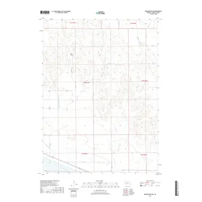
2017 Map of Broadwater NW
USGS Topo · Published 2017About this map
The North Platte River defines the southern reach of this Morrill County landscape, where the flat valley bottom meets the rising bluffs of the Nebraska panhandle. This 2017 survey shows a complex system of water management essential to the region's agricultural life, including the Northport Canal, the Browns Cr Canal, and the Silvernail Drain. These engineered waterways parallel the river, supporting the fields that sit between the water and the high ground. To the north, the terrain becomes increasingly dissected, characterized by features like Cedar Canyon and the winding course of Browns Cr. The map captures a rural network of section-line roads such as Stine Ranch Rd and RD 111, illustrating how modern ranching and farming operations are overlaid upon the traditional Public Land Survey System grid.
Find a feature on this map
28 named features on this map. Tap any name to fly to it.
Don’t see what you’re looking for? This feature index may not catch every label — zoom into the map to look around manually.
Map Details
Editions of this 2017 Broadwater NW Map
This is the sole edition of this map. No revisions or reprints were ever made.
Other maps of this area

1896 · Browns Creek
USGS Topo · 1:125,000

1898 · Camp Clarke
USGS Topo · 1:125,000

1899 · Browns Creek
USGS Topo · 1:125,000

1949 · Lynn
USGS Topo · 1:62,500

1954 · Scottsbluff
USGS Topo · 1:250,000

1958 · Scottsbluff
USGS Topo · 1:250,000

1965 · Broadwater
USGS Topo · 1:24,000

1965 · Angora SE
USGS Topo · 1:24,000

1965 · Courthouse Rock
USGS Topo · 1:24,000

1965 · Broadwater NW
USGS Topo · 1:24,000