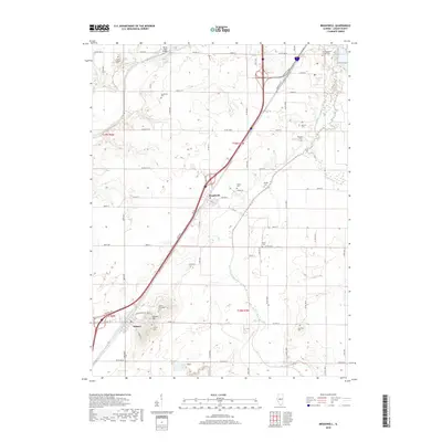
2018 Map of Broadwell
USGS Topo · Published 2018About this map
Elkhart Hill rises as a prominent landmark in this section of Logan County, overlooking the village of Elkhart. This terrain is defined by the winding course of Salt Creek to the north and Lake Fork to the south, creating a fertile corridor for agriculture and early settlement. The map reveals a dense concentration of small family and community burial grounds, such as Latham Thompson Cem, Lucas Chapel Cem, and Warrick Cem, which are invaluable for genealogical research into the area's early residents.
Find a feature on this map
70 named features on this map. Tap any name to fly to it.
Don’t see what you’re looking for? This feature index may not catch every label — zoom into the map to look around manually.
Map Details
Editions of this 2018 Broadwell Map
This is the sole edition of this map. No revisions or reprints were ever made.
Other maps of this area

1907 · Springfield
USGS Topo · 1:62,500

1911 · Lincoln
USGS Topo · 1:62,500

1913 · Lincoln
USGS Topo · 1:62,500

1930 · Springfield
USGS Topo · 1:62,500

1940 · Springfield
USGS Topo · 1:62,500

1948 · Mason City
USGS Topo · 1:62,500

1949 · Mason City
USGS Topo · 1:62,500

1954 · Mechanicsburg
USGS Topo · 1:62,500

1958 · Peoria
USGS Topo · 1:250,000

1958 · Decatur
USGS Topo · 1:250,000