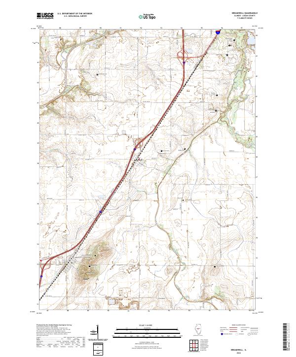
2024 Map of Broadwell
USGS Topo · Published 2024About this map
Elkhart Hill dominates the southern landscape of this Logan County quadrangle, a prominent glacial remnant that rises sharply above the surrounding prairie. This topographical anomaly provides a natural focal point for the village of Elkhart, while the settlement of Broadwell is situated further north along the major transportation corridor of the Lincoln Pkwy. The area is defined by its deep agricultural roots and a significant concentration of small, family-named burial grounds that dot the sections between Salt Creek and Lake Fork.
Find a feature on this map
64 named features on this map. Tap any name to fly to it.
Don’t see what you’re looking for? This feature index may not catch every label — zoom into the map to look around manually.
Map Details
Editions of this 2024 Broadwell Map
This is the sole edition of this map. No revisions or reprints were ever made.
Other maps of this area

1907 · Springfield
USGS Topo · 1:62,500

1911 · Lincoln
USGS Topo · 1:62,500

1913 · Lincoln
USGS Topo · 1:62,500

1930 · Springfield
USGS Topo · 1:62,500

1940 · Springfield
USGS Topo · 1:62,500

1948 · Mason City
USGS Topo · 1:62,500

1949 · Mason City
USGS Topo · 1:62,500

1954 · Mechanicsburg
USGS Topo · 1:62,500

1958 · Peoria
USGS Topo · 1:250,000

1958 · Decatur
USGS Topo · 1:250,000