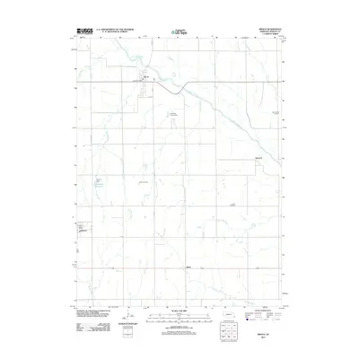
2011 Map of Brock
USGS Topo · Published 2011About this map
The Little Nemaha River winds through the northern half of this Nebraska landscape, where the settlement of Brock serves as a primary hub. The village layout is centered around the Brock Post Office and intersections of local routes like 633 Ave and 16th ST. This quadrangle illustrates a rural agricultural pattern defined by grid-based section roads and numerous watercourses, including Plum Run, Gauchat Creek, and Ord Creek, which feed into the larger river system.
Find a feature on this map
25 named features on this map. Tap any name to fly to it.
Don’t see what you’re looking for? This feature index may not catch every label — zoom into the map to look around manually.
Map Details
Editions of this 2011 Brock Map
This is the sole edition of this map. No revisions or reprints were ever made.
Other maps of this area

1903 · Weeping Water
USGS Topo · 1:125,000

1907 · Nebraska City
USGS Topo · 1:62,500

1915 · Howe
USGS Topo · 1:62,500

1929 · Weeping Water
USGS Topo · 1:125,000

1955 · Nebraska City
USGS Topo · 1:250,000

1955 · Lincoln
USGS Topo · 1:250,000

1957 · Nebraska City
USGS Topo · 1:250,000

1957 · Lincoln
USGS Topo · 1:250,000

1958 · Lincoln
USGS Topo · 1:250,000

1958 · Nebraska City
USGS Topo · 1:250,000