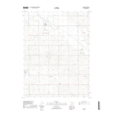
2017 Map of Brock
USGS Topo · Published 2017About this map
Brock sits at the confluence of several local waterways in Nemaha County, where the Little Nemaha River is joined by Piper Cr and Houchen Cr. This landscape is defined by the winding river valley and the dispersed agricultural settlements of Glenrock and Rohrs, connected by a grid of rural roads like 736 RD and 728 RD. The topographical survey highlights the drainage patterns of the region, featuring several smaller streams such as Gauchat Cr and Opal Cr that feed into the larger river system.
Find a feature on this map
29 named features on this map. Tap any name to fly to it.
Don’t see what you’re looking for? This feature index may not catch every label — zoom into the map to look around manually.
Map Details
Editions of this 2017 Brock Map
This is the sole edition of this map. No revisions or reprints were ever made.
Other maps of this area

1903 · Weeping Water
USGS Topo · 1:125,000

1907 · Nebraska City
USGS Topo · 1:62,500

1915 · Howe
USGS Topo · 1:62,500

1929 · Weeping Water
USGS Topo · 1:125,000

1955 · Nebraska City
USGS Topo · 1:250,000

1955 · Lincoln
USGS Topo · 1:250,000

1957 · Nebraska City
USGS Topo · 1:250,000

1957 · Lincoln
USGS Topo · 1:250,000

1958 · Lincoln
USGS Topo · 1:250,000

1958 · Nebraska City
USGS Topo · 1:250,000