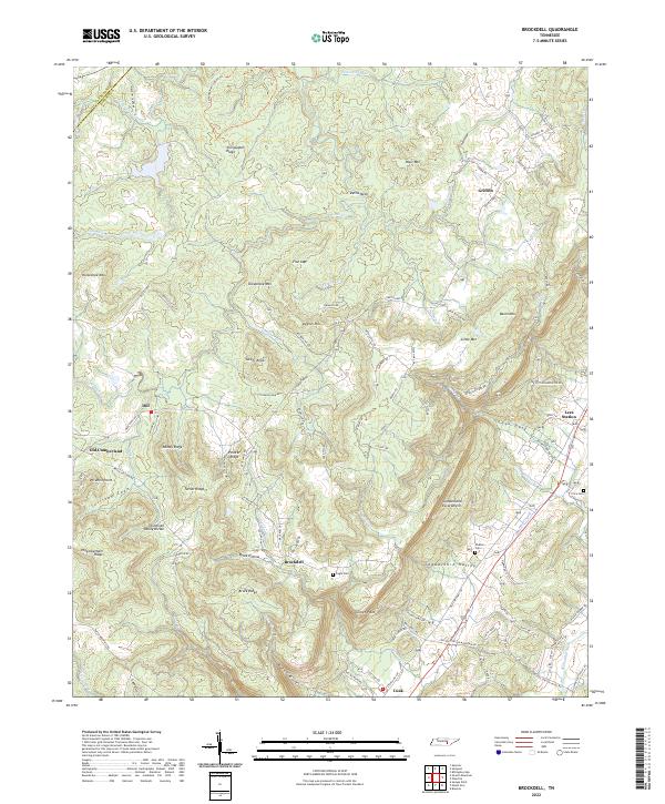
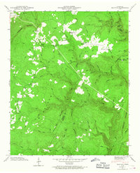
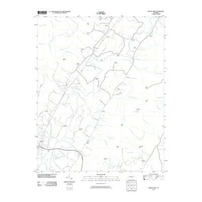
2022 Map of Brockdell
USGS Topo · Published 2022About this map
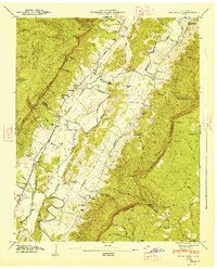
The Cumberland Escarpment dramatically shapes the landscape of Bledsoe County, Tennessee, dropping from the high plateau down into the broad Sequatchie Valley. This transition is marked by deep geographic folds such as Rains Gulf and Lees Gulf, where the land falls away from the Tennessee Valley Divide. The settlement pattern follows the valley floor and the ancient ridge lines, with small communities like Brockdell and Lees Station situated along the lower elevations.
Find a feature on this map
108 named features on this map. Tap any name to fly to it.
Don’t see what you’re looking for? This feature index may not catch every label — zoom into the map to look around manually.
Map Details
Editions of this 2022 Brockdell Map
This is the sole edition of this map. No revisions or reprints were ever made.
Historical Maps of Lees Station Through Time
41 maps found

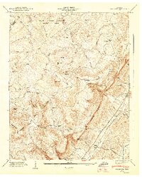
1909 Sequatchie Valley
Bledsoe County, TN
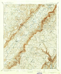
1910 Sequatchie Valley
Bledsoe County, TN
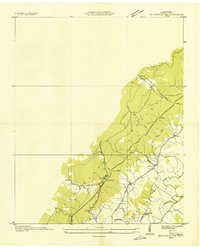
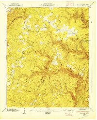
1935 Billingsley Gap
Bledsoe County, TN
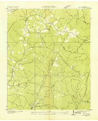
1935 Brayton
Bledsoe County, TN
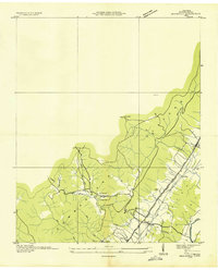
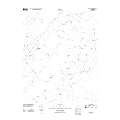
1935 Brockdell
Bledsoe County, TN
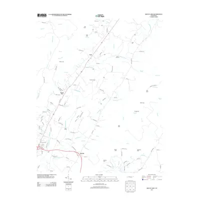
1935 Melvine
Bledsoe County, TN
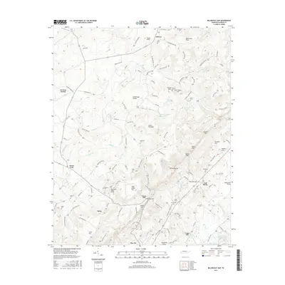
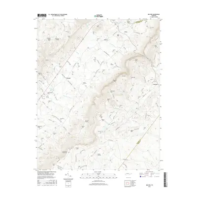
1935 Mount Airy
Bledsoe County, TN
1946 Brayton
Bledsoe County, TN
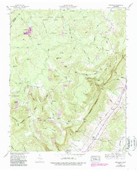
1946 Brockdell
Bledsoe County, TN
1946 Mount Airy
Bledsoe County, TN
1947 Brayton
Bledsoe County, TN
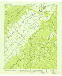
1947 Brockdell
Bledsoe County, TN
1947 Mount Airy
Bledsoe County, TN
1956 Billingsley Gap
Bledsoe County, TN
1956 Melvine
Bledsoe County, TN
1972 Brayton
Bledsoe County, TN
2010 Billingsley Gap
Bledsoe County, TN
2010 Brayton
Bledsoe County, TN
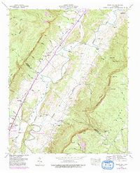
2010 Brockdell
Bledsoe County, TN
2010 Melvine
Bledsoe County, TN
2010 Mount Airy
Bledsoe County, TN
2013 Billingsley Gap
Bledsoe County, TN
2013 Brayton
Bledsoe County, TN
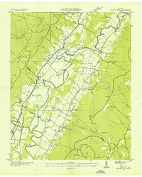
2013 Brockdell
Bledsoe County, TN
2013 Melvine
Bledsoe County, TN
2013 Mount Airy
Bledsoe County, TN
2016 Billingsley Gap
Bledsoe County, TN
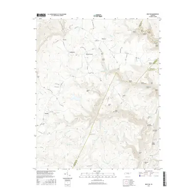
2016 Brayton
Bledsoe County, TN
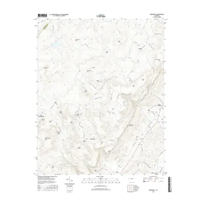
2016 Brockdell
Bledsoe County, TN
2016 Melvine
Bledsoe County, TN
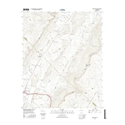
2016 Mount Airy
Bledsoe County, TN
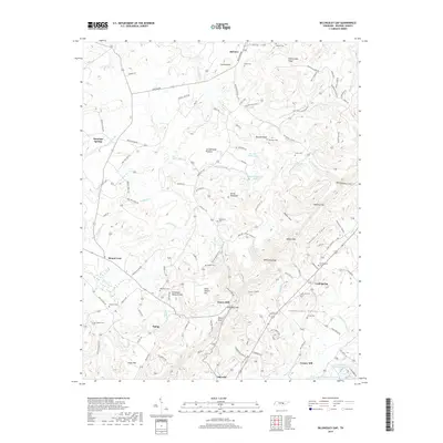
2019 Billingsley Gap
Bledsoe County, TN
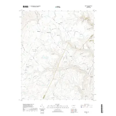
2019 Brayton
Bledsoe County, TN
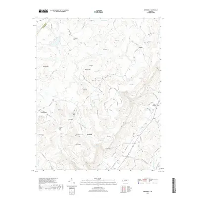
2019 Brockdell
Bledsoe County, TN
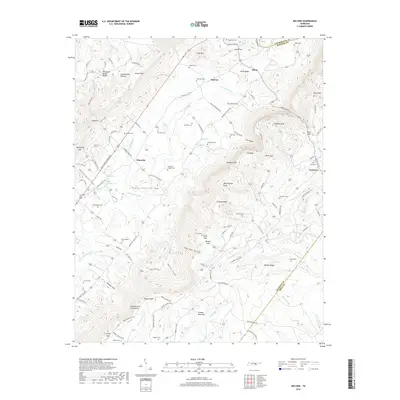
2019 Melvine
Bledsoe County, TN
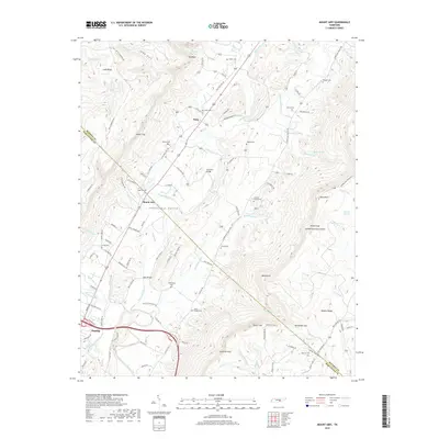
2019 Mount Airy
Bledsoe County, TN
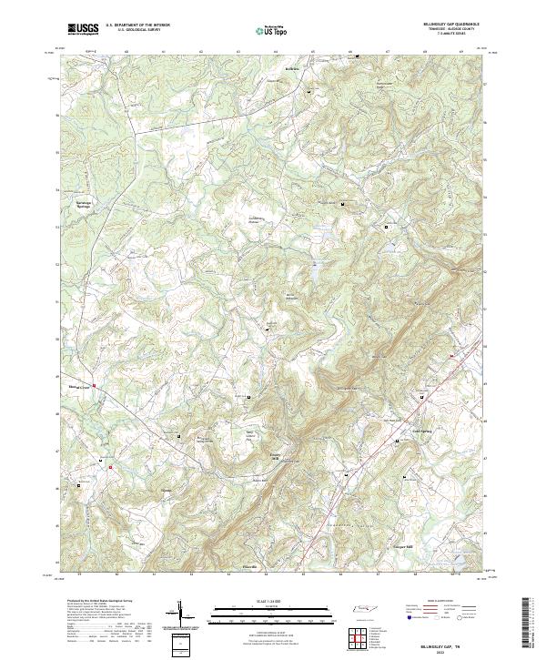
2022 Billingsley Gap
Bledsoe County, TN
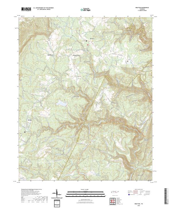
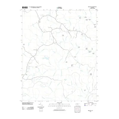
2022 Brayton
Bledsoe County, TN
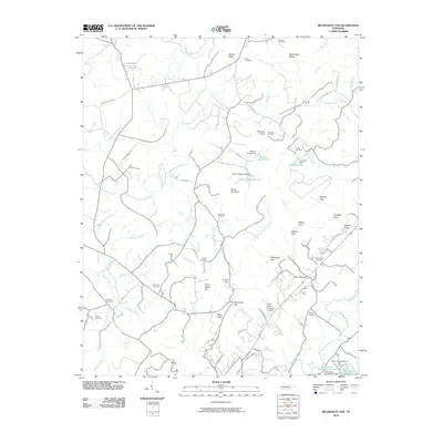
2022 Brockdell
Bledsoe County, TN
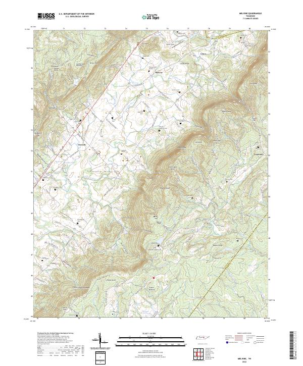
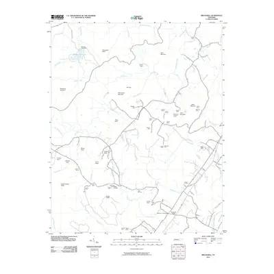
2022 Melvine
Bledsoe County, TN
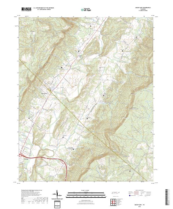
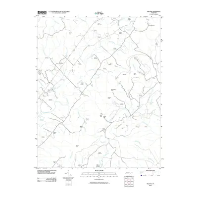
2022 Mount Airy
Bledsoe County, TN