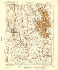
1941 Map of Brockton
USGS Topo · Published 1941About this map
Montello and Campello anchor the industrial and residential heart of the region, where the New York New Haven and Hartford RR provides the primary transit corridor. This pre-war landscape reveals a dense network of local schools like the Hancock Sch and Goddard Sch, alongside civic landmarks such as the War Memorial and the Fair Grounds. To the south and west, the terrain shifts from the urban grid of Brockton into the wetlands of Hockomock Swamp and smaller clusters like South Easton and Cochessett. The map documents a time when local transport was deeply tied to the rail lines, including facilities like the Easton Sta and the Brockton Airport, which highlight the era's evolving transportation infrastructure. Numerous family and community landmarks, from Gowards Corner to the Howard Seminary, provide a detailed record of the social and educational fabric of Bristol and Plymouth counties.
Find a feature on this map
155 named features on this map. Tap any name to fly to it.
Don’t see what you’re looking for? This feature index may not catch every label — zoom into the map to look around manually.
Map Details
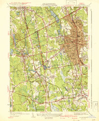
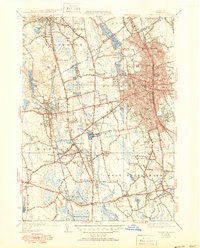
Editions of this 1941 Brockton Map
3 editions found
Other maps of this area

1885 · Abington
USGS Topo · 1:62,500

1885 · Middleboro
USGS Topo · 1:62,500

1885 · Taunton
USGS Topo · 1:62,500

1886 · Dedham
USGS Topo · 1:62,500

1888 · Taunton
USGS Topo · 1:62,500

1888 · Middleboro
USGS Topo · 1:62,500

1888 · Abington
USGS Topo · 1:62,500

1893 · Abington
USGS Topo · 1:62,500

1893 · Taunton
USGS Topo · 1:62,500

1893 · Middleboro
USGS Topo · 1:62,500