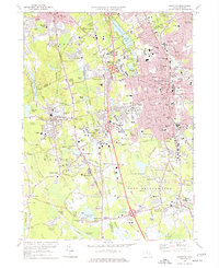
1975 Map of Brockton
USGS Topo · Published 1977About this map
Brockton serves as the dense urban anchor of this mid-1970s survey, surrounded by a complex network of residential expansion and educational institutions. The landscape is defined by its transition from the industrial grid of the city to the expansive wetlands of the Hockomock Swamp and Little Cedar Swamp to the south. Significant academic and medical footprints are visible, including the campus of Stonehill College near North Easton and the U S Veterans Administration Hospital. Transportation patterns are dominated by the Conrail lines and several major highway interchanges, reflecting the region's role as a suburban hub between major metro areas. Local genealogy and history researchers can find numerous family-named landmarks like Gowards Corner and Manleys Corner, alongside a high density of neighborhood schools such as Hancock Sch and Keith Sch that characterize the era's community planning.
Find a feature on this map
133 named features on this map. Tap any name to fly to it.
Don’t see what you’re looking for? This feature index may not catch every label — zoom into the map to look around manually.
Map Details
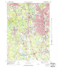
Editions of this 1975 Brockton Map
2 editions found
Other maps of this area

1885 · Abington
USGS Topo · 1:62,500

1885 · Middleboro
USGS Topo · 1:62,500

1885 · Taunton
USGS Topo · 1:62,500

1886 · Dedham
USGS Topo · 1:62,500

1888 · Taunton
USGS Topo · 1:62,500

1888 · Middleboro
USGS Topo · 1:62,500

1888 · Abington
USGS Topo · 1:62,500

1893 · Abington
USGS Topo · 1:62,500

1893 · Taunton
USGS Topo · 1:62,500

1893 · Middleboro
USGS Topo · 1:62,500