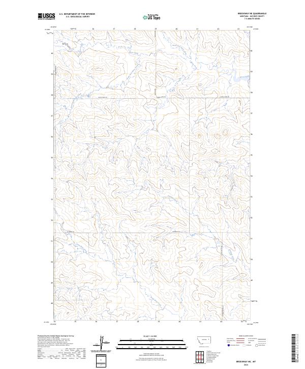
2024 Map of Brockway NE
USGS Topo · Published 2024About this map
The high plains of McCone County are defined here by a network of drainage basins that feed into the larger Missouri River system to the north. Horse Creek serves as the primary hydrological feature, with its North Fork and South Fork converging in the upper sections of the map. This landscape is a classic example of the expansive, open rangeland found in eastern Montana, where the terrain is carved by intermittent streams like Antelope Creek and Stony Butte Creek.
Find a feature on this map
13 named features on this map. Tap any name to fly to it.
Don’t see what you’re looking for? This feature index may not catch every label — zoom into the map to look around manually.
Map Details
Editions of this 2024 Brockway NE Map
This is the sole edition of this map. No revisions or reprints were ever made.
Other maps of this area

1954 · Glendive
USGS Topo · 1:250,000

1957 · Glendive
USGS Topo · 1:250,000

1958 · Glendive
USGS Topo · 1:250,000

1982 · Circle
USGS Topo · 1:100,000

1983 · Youngquist Mine
USGS Topo · 1:24,000

1983 · Brockway NE
USGS Topo · 1:24,000

1983 · Haynie Reservoir
USGS Topo · 1:24,000

1983 · North Fork Horse Creek
USGS Topo · 1:24,000
1983 · Brockway
USGS Topo · 1:24,000
1983 · Johnson Coulee East
USGS Topo · 1:24,000