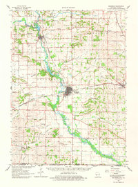
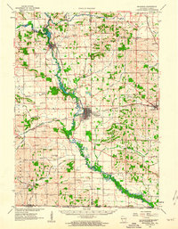
1962 Map of Brodhead
USGS Topo · Published 1980About this map
The Sugar River corridor serves as the central artery for this early 1960s landscape, connecting the manufacturing and transport hubs of Brodhead and Albany. The presence of the Chicago Milwaukee ST Paul And Pacific and Chicago And North Western railroads highlights the region's importance as a rail-linked agricultural and industrial center. Beyond the town centers, the map reveals a dense network of local landmarks, including the Landing Field south of Brodhead, numerous rural schools like Riley School and Davis Sch, and various churches such as West Luther Valley Ch. The terrain transitions from the developed river valleys to the outlying townships like Magnolia and Spring Grove, where many family cemeteries, such as Mt Hope Cem and Clarence Cem, provide valuable data for genealogists tracing the area's rural settlement patterns.
Find a feature on this map
73 named features on this map. Tap any name to fly to it.
Don’t see what you’re looking for? This feature index may not catch every label — zoom into the map to look around manually.
Map Details
Editions of this 1962 Brodhead Map
2 editions found
Other maps of this area

1889 · Evansville
USGS Topo · 1:62,500

1890 · Stoughton
USGS Topo · 1:62,500

1891 · Janesville
USGS Topo · 1:62,500

1893 · Janesville
USGS Topo · 1:62,500

1893 · Brodhead
USGS Topo · 1:62,500

1894 · Evansville
USGS Topo · 1:62,500

1906 · Evansville
USGS Topo · 1:62,500

1918 · Rockford
USGS Topo · 1:62,500

1920 · Monroe
USGS Topo · 1:62,500

1922 · Monroe
USGS Topo · 1:62,500