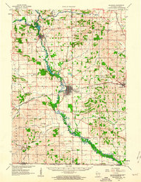
1962 Map of Brodhead
USGS Topo · Published 1964About this map
The Sugar River meanders through this portion of Southern Wisconsin, anchoring a landscape where agriculture and rail infrastructure converged in the early 1960s. The bustling hub of Brodhead stands as the central settlement, positioned near the Landing Field and the junction of major rail lines including the Chicago Milwaukee St Paul and Pacific. To the north, Albany sits along the river's edge at Albany Lake, while smaller rural centers like Magnolia, Cainville, and Orfordville dot the eastern plains.
Find a feature on this map
66 named features on this map. Tap any name to fly to it.
Don’t see what you’re looking for? This feature index may not catch every label — zoom into the map to look around manually.
Map Details
Editions of this 1962 Brodhead Map
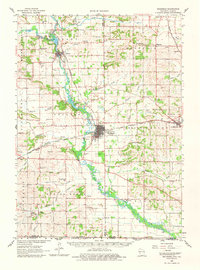
2 editions found
Other maps of this area

1889 · Evansville
USGS Topo · 1:62,500

1890 · Stoughton
USGS Topo · 1:62,500

1891 · Janesville
USGS Topo · 1:62,500

1893 · Janesville
USGS Topo · 1:62,500

1893 · Brodhead
USGS Topo · 1:62,500

1894 · Evansville
USGS Topo · 1:62,500

1906 · Evansville
USGS Topo · 1:62,500

1918 · Rockford
USGS Topo · 1:62,500

1920 · Monroe
USGS Topo · 1:62,500

1922 · Monroe
USGS Topo · 1:62,500