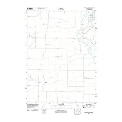
2010 Map of Brodhead West
USGS Topo · Published 2010About this map
The settlement of Oakley sits at the convergence of local drainage ways in Green County, highlighting the rural agricultural character of southern Wisconsin at the turn of the 21st century. The landscape is defined by the winding course of the Sugar River as it meanders through the northeast, bordered by the Clarence Cemetery and the Brodhead Wastewater Treatment Facility. This map captures a mature network of county roads and section-line paths that organize the farmsteads between the waterways.
Find a feature on this map
46 named features on this map. Tap any name to fly to it.
Don’t see what you’re looking for? This feature index may not catch every label — zoom into the map to look around manually.
Map Details
Editions of this 2010 Brodhead West Map
This is the sole edition of this map. No revisions or reprints were ever made.
Other maps of this area

1893 · Brodhead
USGS Topo · 1:62,500

1920 · Monroe
USGS Topo · 1:62,500

1922 · Monroe
USGS Topo · 1:62,500

1932 · Pecatonica
USGS Topo · 1:62,500

1936 · Pecatonica
USGS Topo · 1:62,500

1939 · Freeport
USGS Topo · 1:48,000

1944 · Freeport
USGS Topo · 1:62,500

1954 · Rockford
USGS Topo · 1:250,000

1955 · Rockford
USGS Topo · 1:250,000

1958 · Rockford
USGS Topo · 1:250,000