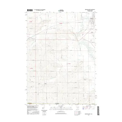
2016 Map of Brodhead West
USGS Topo · Published 2016About this map
Sugar River meanders through the eastern portion of this landscape, anchoring a region defined by agricultural plots and significant local landmarks near the Wisconsin-Illinois border. The settlement of Brodhead occupies the northeast corner, featuring a gridded street plan from 15th St to 25th St, while the small community of Oakley sits further west near the banks of Spring Creek. This area is particularly rich for genealogical research, as it contains several distinct burial grounds including Clarence Cemetery, Basswood Cemetery, and Mount Hope Cemetery.
Find a feature on this map
68 named features on this map. Tap any name to fly to it.
Don’t see what you’re looking for? This feature index may not catch every label — zoom into the map to look around manually.
Map Details
Editions of this 2016 Brodhead West Map
This is the sole edition of this map. No revisions or reprints were ever made.
Other maps of this area

1893 · Brodhead
USGS Topo · 1:62,500

1920 · Monroe
USGS Topo · 1:62,500

1922 · Monroe
USGS Topo · 1:62,500

1932 · Pecatonica
USGS Topo · 1:62,500

1936 · Pecatonica
USGS Topo · 1:62,500

1939 · Freeport
USGS Topo · 1:48,000

1944 · Freeport
USGS Topo · 1:62,500

1954 · Rockford
USGS Topo · 1:250,000

1955 · Rockford
USGS Topo · 1:250,000

1958 · Rockford
USGS Topo · 1:250,000