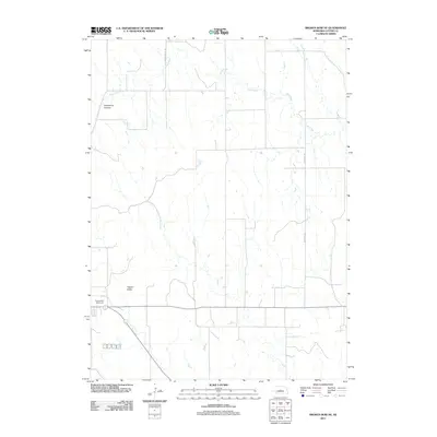
2011 Map of Broken Bow NE
USGS Topo · Published 2011About this map
Tappan Valley and the surrounding Custer County landscape characterize this 2011 survey, showing the agricultural and topographical layout northeast of the city center. The winding course of Clear Creek dominates the northern half of the quadrangle, while Mud Creek cuts through the southwest corner, highlighting the drainage patterns essential to this prairie region. Modern infrastructure is represented by rural thoroughfares like Round Valley Rd and Weissert Rd, which connect the scattered farmsteads of the Sandhills transition zone. A primary landmark is the Broken Bow Fairground, positioned along the southern edge near the intersection of local transport routes. The map also identifies local geological features such as Deadmans Canyon, providing a precise record of the physical and human geography of the Nebraska interior during the early 21st century.
Find a feature on this map
7 named features on this map. Tap any name to fly to it.
Don’t see what you’re looking for? This feature index may not catch every label — zoom into the map to look around manually.
Map Details
Editions of this 2011 Broken Bow NE Map
This is the sole edition of this map. No revisions or reprints were ever made.
Other maps of this area

1951 · Broken Bow NE
USGS Topo · 1:24,000

1951 · Westerville
USGS Topo · 1:24,000

1951 · Broken Bow SW
USGS Topo · 1:24,000

1951 · Lillian
USGS Topo · 1:24,000

1951 · Ansley
USGS Topo · 1:24,000

1951 · Broken Bow
USGS Topo · 1:24,000

1951 · Broken Bow SE
USGS Topo · 1:24,000

1951 · Round Valley
USGS Topo · 1:24,000

1952 · Sargent SW
USGS Topo · 1:24,000

1955 · Broken Bow
USGS Topo · 1:250,000