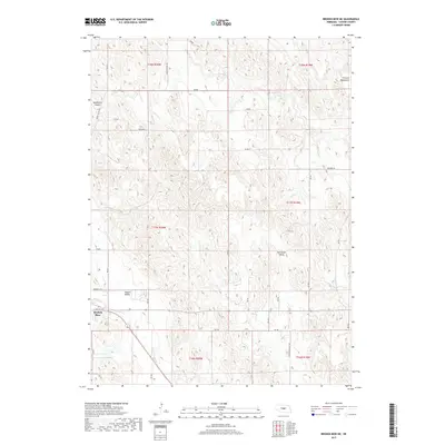
2017 Map of Broken Bow NE
USGS Topo · Published 2017About this map
Broken Bow anchors the southwest corner of this Custer County landscape, where the urban grid gives way to the expansive topography of the Nebraska plains. The terrain is defined by a series of distinct geographical formations, including the French Tableland in the northeast and the recessed depths of Deadmans Canyon. Drainage patterns are carved by Clear Cr and Mud Cr, which navigate through Tappan Valley and Dutchman Valley. The map reveals a highly structured section-line road network typical of the Great Plains, featuring routes like Weissert Rd and Round Valley Rd that provide access to this rural agricultural region. This 2017 survey reflects the enduring land divisions of the Public Land Survey System, showing the township and range boundaries that have organized this territory since its initial settlement.
Find a feature on this map
33 named features on this map. Tap any name to fly to it.
Don’t see what you’re looking for? This feature index may not catch every label — zoom into the map to look around manually.
Map Details
Editions of this 2017 Broken Bow NE Map
This is the sole edition of this map. No revisions or reprints were ever made.
Other maps of this area

1951 · Broken Bow NE
USGS Topo · 1:24,000

1951 · Westerville
USGS Topo · 1:24,000

1951 · Broken Bow SW
USGS Topo · 1:24,000

1951 · Lillian
USGS Topo · 1:24,000

1951 · Ansley
USGS Topo · 1:24,000

1951 · Broken Bow
USGS Topo · 1:24,000

1951 · Broken Bow SE
USGS Topo · 1:24,000

1951 · Round Valley
USGS Topo · 1:24,000

1952 · Sargent SW
USGS Topo · 1:24,000

1955 · Broken Bow
USGS Topo · 1:250,000