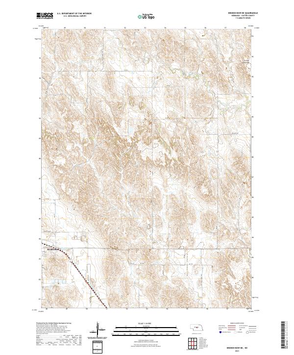
2021 Map of Broken Bow NE
USGS Topo · Published 2021About this map
Broken Bow anchors the southwestern corner of this survey, where the township grid meets the natural drainage systems of Custer County. The landscape is defined by a series of distinct geographic features, including the broad French Tableland to the northeast and the sharply defined Deadmans Canyon in the northwest. These upland areas give way to significant lowland drainages such as Tappan Valley and Dutchman Valley, which channel water toward Mud Cr. A network of rural section-line roads, such as Round Valley Rd and Weissert Rd, provides access across the variable terrain, illustrating the enduring spatial organization of Nebraska's agricultural heartland. The path of Clear Cr meanders across the northern sections, further highlighting the relationship between water resources and the region's topography.
Find a feature on this map
34 named features on this map. Tap any name to fly to it.
Don’t see what you’re looking for? This feature index may not catch every label — zoom into the map to look around manually.
Map Details
Editions of this 2021 Broken Bow NE Map
This is the sole edition of this map. No revisions or reprints were ever made.
Other maps of this area

1951 · Broken Bow NE
USGS Topo · 1:24,000

1951 · Westerville
USGS Topo · 1:24,000

1951 · Broken Bow SW
USGS Topo · 1:24,000

1951 · Lillian
USGS Topo · 1:24,000

1951 · Ansley
USGS Topo · 1:24,000

1951 · Broken Bow
USGS Topo · 1:24,000

1951 · Broken Bow SE
USGS Topo · 1:24,000

1951 · Round Valley
USGS Topo · 1:24,000

1952 · Sargent SW
USGS Topo · 1:24,000

1955 · Broken Bow
USGS Topo · 1:250,000