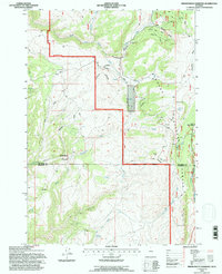
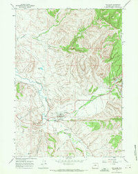
1993 Map of Brokenback Narrows
USGS Topo · Published 1997About this map
Bighorn National Forest lands dominate this high-elevation territory, where the complex drainage systems of the Big Horn and Washakie county line are meticulously charted. The topographic detail focuses on the sharp descent of the Brokenback Narrows, a defining geological pinch point where Brokenback Creek and its southern fork carve through the landscape. Settlement is sparse, represented by administrative and seasonal sites such as the Tyrrell Work Center and Soldier Creek Camp, which underscore the area's role as managed forest and grazing land.
Find a feature on this map
29 named features on this map. Tap any name to fly to it.
Don’t see what you’re looking for? This feature index may not catch every label — zoom into the map to look around manually.
Map Details
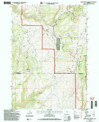
Editions of this 1993 Brokenback Narrows Map
2 editions found
Other maps of this area

1899 · Cloud peak
USGS Topo · 1:125,000

1901 · Cloud Peak
USGS Topo · 1:125,000

1955 · Sheridan
USGS Topo · 1:250,000

1958 · Sheridan
USGS Topo · 1:250,000

1960 · Lake Solitude
USGS Topo · 1:24,000

1962 · Sheridan
USGS Topo · 1:250,000
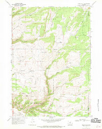
1967 · Onion Gulch
USGS Topo · 1:24,000
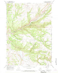
1967 · Old Maid Gulch
USGS Topo · 1:24,000
1967 · Ten Sleep
USGS Topo · 1:24,000

1967 · Brokenback Narrows
USGS Topo · 1:24,000